Stara Ćuprija Glavatičevo
| Stara Ćuprija Stara Župska Ćuprija | |
|---|---|
| Coordinates | 43°30′07″N 18°06′23″E / 43.501839°N 18.106366°ECoordinates: 43°30′07″N 18°06′23″E / 43.501839°N 18.106366°E |
| Carries | Motor vehicles, pedestrians and bicycles |
| Crosses | Neretva |
| Locale | Glavatičevo, Bosnia and Herzegovina |
| Heritage status | KONS |
| Preceded by | Most Ulog |
| Followed by | Stara Ćuprija |
| Characteristics | |
| Design | Stone arch bridge |
| Material | Stone, Wood, Steal, Asphalt |
| Total length | cca 60 m (197 ft) |
| Width | cca 4 m (13 ft) |
| Height | cca 10 m (33 ft) |
| Longest span | cca 40 m (131 ft) |
| No. of spans | 1 |
| Piers in water | 2 |
| Clearance below | cca 8 m (26 ft) at mid-span |
| History | |
| Architect | unknown Ottoman achitect |
| Constructed by | Hadži-Balija from Mostar |
| Construction end | around 1612[1] |
| Rebuilt | 1839, again 1946 |
| Collapsed | between 1941-45 |
| Replaced by | deck replaced by steal and asphalt |
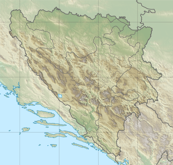 Stara Ćuprija Location in Bosnia and Herzegovina | |
Stara Ćuprija Glavatičevo is an old Ottoman bridge in the center of Glavatičevo village, Bosnia and Herzegovina, spanning Neretva river.[1]
References
- 1 2 Pavo, Anđelić (September 1957). "Naše starine IV - 1957" (pdf, downloadable). www.fmks.gov.ba (in Bosnian). Zavod za zaštitu spomenika BiH. p. 4. Retrieved 4 July 2018.
See also
This article is issued from
Wikipedia.
The text is licensed under Creative Commons - Attribution - Sharealike.
Additional terms may apply for the media files.