Southend, Saskatchewan
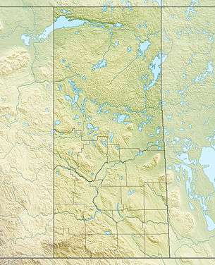

Southend is a community in north eastern Saskatchewan, Canada located at the southern end of Reindeer Lake, the ninth largest lake in Canada. The community is the terminus of Highway 102 and is 221 km (137 miles) north east of La Ronge.
The community consists of the northern settlement of Southend with a population of 35[1] and Southend 200, a reserve of the Peter Ballantyne Cree Nation, with a population of 904.
History
Fur trade posts were established at or near the community as early as 1792. Reindeer River Post (1792, 1795) at Southend was a North West Company Post. Reindeer Lake Post (or Clapham House) (1798–1892) at Southend was a Hudson's Bay Company post. South Reindeer Lake Post (1936–1941) was a Hudson's Bay Company post located south of Southend on the Reindeer River.[2]
In February 1980, two sounding Black Brant 5B rockets were launched from Southend. They reached an altitude of about 156 kilometres.[3]
Demographics
The population of Southend 200, IR Saskatchewan was 904 in 2011. Cree was the mother tongue chosen by 465 residents followed by English with 425 and Dene with 5. Almost all residents also spoke English.
| Canada census – Southend, Saskatchewan community profile | |||
|---|---|---|---|
| 2011 | 2006 | ||
| Population: | 904 (-0.7% from 2006) | 910 (30.7% from 2001) | |
| Land area: | 37.64 km2 (14.53 sq mi) | 37.64 km2 (14.53 sq mi) | |
| Population density: | 24.0/km2 (62/sq mi) | 24.2/km2 (63/sq mi) | |
| Median age: | 20.4 (M: 20.7, F: 19.9) | 19.1 (M: 19.1, F: 19.0) | |
| Total private dwellings: | 193 | 190 | |
| Median household income: | |||
| References: 2011[4] 2006[5] earlier[6] | |||
See also
References
- ↑ "Search for Municipal Information". Government of Saskatchewan. Retrieved April 7, 2014.
- ↑ "Northern Saskatchewan (lists of forts)". ATLAS OF SASKATCHEWAN - 1969 EDITION. Retrieved May 27, 2014.
- ↑ "Southend". Encyclopedia Astronautica. Retrieved May 27, 2014.
- ↑ "2011 Community Profiles". Canada 2011 Census. Statistics Canada. July 5, 2013. Retrieved 2013-01-27.
- ↑ "2006 Community Profiles". Canada 2006 Census. Statistics Canada. March 30, 2011. Retrieved 2013-01-27.
- ↑ "2001 Community Profiles". Canada 2001 Census. Statistics Canada. February 17, 2012.
External links
| Subdivisions | |
|---|---|
| Communities | |
| Cities | |
| Topics |
|
| |
| Cities | 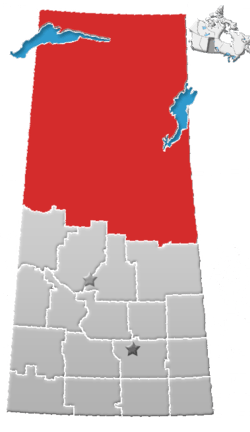 | ||||||
|---|---|---|---|---|---|---|---|
| Northern Towns | |||||||
| Northern Villages | |||||||
| Indian reserves |
| ||||||
| Unincorporated communities |
| ||||||