Air Ronge
Air Ronge (2006 population 1,032) is a northern village in Northern Saskatchewan, Canada, 235 km north of Prince Albert. It lies on the western shore of Lac la Ronge, and is 3 km south of La Ronge and Lac La Ronge Provincial Park. According to 2006's census, the northern village is currently growing at 8.1%, and is one of the fastest growing municipalities in Saskatchewan. There are an additional 3,500 people in La Ronge (though Saskatchewan Tourism claims more than 5,000 as of 2011) and 2,000 in the Lac La Ronge First Nation. The community is on the edge of the Canadian Shield. Highway 2 passes through the community.
| Canada census – Air Ronge community profile | |||
|---|---|---|---|
| 2011 | 2006 | ||
| Population: | 1,043 (1.1% from 2006) | 1,032 (8.1% from 2001) | |
| Land area: | 6.00 km2 (2.32 sq mi) | 6.00 km2 (2.32 sq mi) | |
| Population density: | 173.8/km2 (450/sq mi) | 172.0/km2 (445/sq mi) | |
| Median age: | 31.7 (M: 30.1, F: 33.1) | 27.9 (M: 27.6, F: 28.0) | |
| Total private dwellings: | 367 | 356 | |
| Median household income: | $57,856 | ||
| References: 2011[1] 2006[2] earlier[3] | |||
See also
References
- ↑ "2011 Community Profiles". Canada 2011 Census. Statistics Canada. July 5, 2013. Retrieved 2012-08-12.
- ↑ "2006 Community Profiles". Canada 2006 Census. Statistics Canada. March 30, 2011. Retrieved 2009-02-24.
- ↑ "2001 Community Profiles". Canada 2001 Census. Statistics Canada. February 17, 2012.
External links
- Lac La Ronge Provincial Park
- Encyclopedia of Saskatchewan
| North: La Ronge | ||
| West: Beauval | Air Ronge | East: Flin Flon |
| South: Prince Albert National Park, Prince Albert |
| Subdivisions | |
|---|---|
| Communities | |
| Cities | |
| Topics |
|
| |
| Cities | 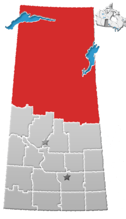 | ||||||
|---|---|---|---|---|---|---|---|
| Northern Towns | |||||||
| Northern Villages | |||||||
| Indian reserves |
| ||||||
| Unincorporated communities |
| ||||||
Coordinates: 55°5′13.9″N 105°19′54.6″W / 55.087194°N 105.331833°W
This article is issued from
Wikipedia.
The text is licensed under Creative Commons - Attribution - Sharealike.
Additional terms may apply for the media files.