South Granville, New South Wales
| South Granville Sydney, New South Wales | |||||||||||||||
|---|---|---|---|---|---|---|---|---|---|---|---|---|---|---|---|
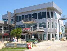 Wellington Road, warehouse and commercial complex | |||||||||||||||
|
South Granville | |||||||||||||||
| Coordinates | 33°51′16″S 151°0′15″E / 33.85444°S 151.00417°ECoordinates: 33°51′16″S 151°0′15″E / 33.85444°S 151.00417°E | ||||||||||||||
| Population | 5,500 (2016 census)[1] | ||||||||||||||
| Postcode(s) | 2142 | ||||||||||||||
| Location | 23 km (14 mi) west of Sydney CBD | ||||||||||||||
| LGA(s) | Cumberland Council | ||||||||||||||
| State electorate(s) | |||||||||||||||
| Federal Division(s) | Blaxland | ||||||||||||||
| |||||||||||||||
South Granville is a suburb in western Sydney, in the state of New South Wales, Australia 23 kilometres west of the Sydney central business district, in the local government area of the Cumberland Council. South Granville is an extension of Granville.
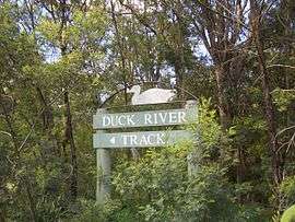
Duck River Track, Wellington Road
History
Granville was named in 1880, after the British Colonial Secretary, the Granville Leveson-Gower, 2nd Earl Granville.[2]
Parks
- Duck River Reserve
- Athol Barnes Reserve
- Ray Marshall Reserve
- Melita Stadium
Education
South Granville has a number of schools including Granville East Public School, Holy Family Primary School.
Businesses headquartered in South Granville
- Hume Building Products
References
- ↑ Australian Bureau of Statistics (27 June 2017). "South Granville (State Suburb)". 2016 Census QuickStats. Retrieved 12 April 2018.

- ↑ Granville: From Forest to Factory, John Watson (ed.), 1992, Granville Historical Society.
| Wikimedia Commons has media related to South Granville, New South Wales. |
This article is issued from
Wikipedia.
The text is licensed under Creative Commons - Attribution - Sharealike.
Additional terms may apply for the media files.