Sour Howes
| Sour Howes | |
|---|---|
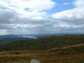 Sour Howes with Windermere beyond from Sallows. | |
| Highest point | |
| Elevation | 483 m (1,585 ft) |
| Prominence | c. 34 m |
| Parent peak | Sallows |
| Listing | Wainwright |
| Coordinates | 54°25′16″N 2°53′04″W / 54.42099°N 2.88457°WCoordinates: 54°25′16″N 2°53′04″W / 54.42099°N 2.88457°W |
| Geography | |
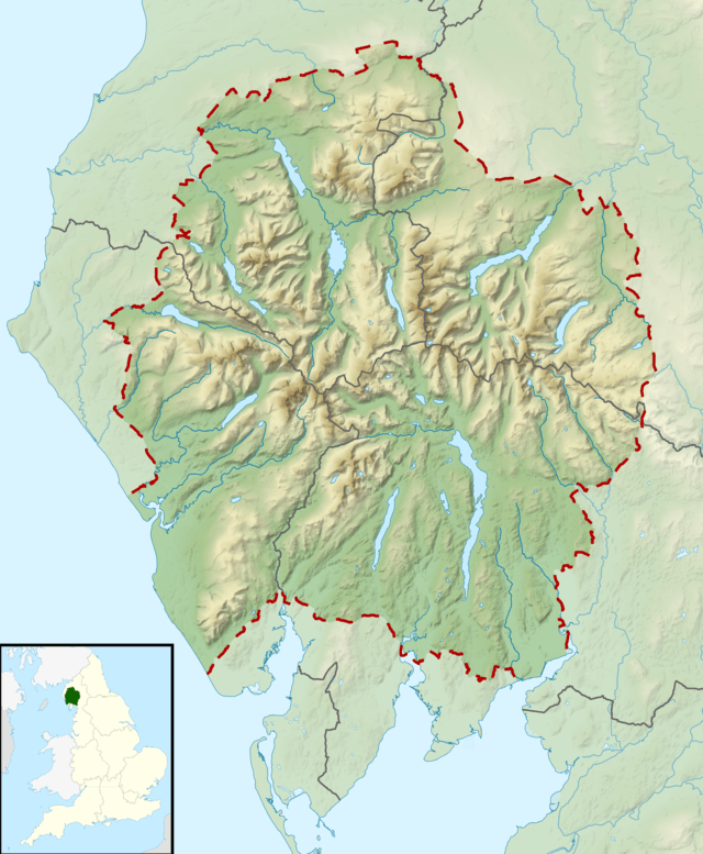 Sour Howes Location in Lake District, UK | |
| Location | Cumbria, England |
| Parent range | Lake District, Far Eastern Fells |
| OS grid | NY427032 |
| Topo map | OS Landranger 90, OS Explorer 7 |
.JPG)
Sour Howes is a small fell in the English Lake District. It is situated five kilometres east of Ambleside, between the Troutbeck and Kentmere valleys and is one of the two separate fells on Applethwaite Common (the other being Sallows).
Topography
Sour Howes, which reaches a height of 483 m (1,585 ft) is mostly grassy although heather grows on the eastern slopes, a high dry stone wall crosses the top and links with the neighbouring fell of Sallows, which lies just over a kilometre to the north east, and with Sour Howe’s subsidiary top of Capple Howe (445 m, 1,460 ft) which is located 600 metres to the south east.
The fells western flank falls away steeply to the Troutbeck valley, this slope is traversed lower down by the Dubbs Road bridleway which goes north joining the track which crosses the Garburn Pass (Byway open to all traffic)[1] on its way to Kentmere. The disused and now wooded Applethwaite quarry stands on these western slope alongside the Garburn track, it is quite substantial and an interesting place to explore. On its eastern side Sour Howes drops more gently to the Kentmere valley with the stream of Park Beck draining the fell and being a tributary of the River Kent. There are some well made grouse butts amongst the heather on these eastern slopes.
Ascents
Sour Howes can be ascended from the Troutbeck or Kentmere valleys, its ascent can be combined with the adjacent fell of Sallows and also with a visit to the more stirring Yoke to Thornthwaite Crag ridge to the north. The ascents from either valley utilise the Garburn Pass track to its highest point before going south to the summit following the dry stone wall.
Summit
The top of the fell is a series of grassy knolls with the highest of these marked by a small pile of stones, the view is extremely fine for such a small fell, there is a fine vista of the high mountains to the west, to the south Windermere is well seen and beyond that Morecambe Bay.
References
- ↑ "Rights of Way Orders by Lake District National Park Authority 2009". Retrieved 2009-12-31.