Siyin, Burma
| Siyin | |
|---|---|
| Village | |
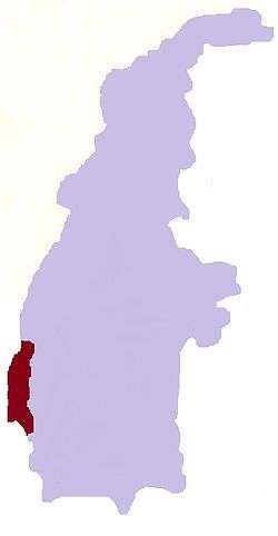
 Siyin Location in Burma | |
| Coordinates: 23°12′29″N 93°58′37″E / 23.20806°N 93.97694°ECoordinates: 23°12′29″N 93°58′37″E / 23.20806°N 93.97694°E | |
| Country |
|
| Region | Sagaing Region |
| District | Kale District |
| Township | Kale Township |
| Time zone | UTC+6.30 (MST) |
Siyin[1] is a village in Kale Township, Kale District, in the Sagaing Region of western Burma.[2][3] It is located about 10 kilometres (6.2 mi)[4] west of Kalemyo on the Kalemyo – Theizang road.[2] It lies at the mouth of the Siyin Valley where it deboushes into the Kale Valley.
Notes
- ↑ "Siyin (Approved)" Siyin, Burma at GEOnet Names Server, United States National Geospatial-Intelligence Agency
- 1 2 "1:250,000 topographic map, Series U542, Mawlaik, Burma; India, NF 46-3" U.S. Army Map Service, March 1960
- ↑ Note that Maplandia has the correct coordinates and map, but places Siyin incorrectly in Falam Township of Chin State. "Siyin Map — Satellite Images of Siyin" Maplandia World Gazetteer. The Siyin Reserve Forest is across the border in Falam Township. "Siyin Reserved Forest (Approved)" Siyin, Burma at GEOnet Names Server, United States National Geospatial-Intelligence Agency.
- ↑ "Siyin, Myanmar" GeoNames.org
This article is issued from
Wikipedia.
The text is licensed under Creative Commons - Attribution - Sharealike.
Additional terms may apply for the media files.