Serei Saophoan (city)
| Serei Saophoan ក្រុងសិរីសោភ័ណ | |
|---|---|
| City | |
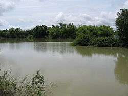 Small lake in Serei Saophoan District | |
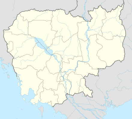 Serei Saophoan Location of Serei Saophoan, Cambodia | |
| Coordinates: 13°35′N 102°59′E / 13.583°N 102.983°E | |
| Country |
|
| Province | Banteay Meanchey |
| District | Serei Saophoan |
| Government | |
| • Type | City municipality |
| Elevation | 15 m (49 ft) |
| Population (2012)[1] | |
| • Total | 190,349 |
| • Rank | Ranked 4th |
Serei Saophoan (Khmer: សិរីសោភ័ណ, Khmer pronunciation: [seʔrəi saopʰoə̯n], "Beautiful Freedom", is the capital and largest city of Banteay Meanchey Province and the fourth most populous city in Cambodia. The city separates Cambodia's National Highway 5 and National Highway 6. Its administrative name is "Serei Sophon" as used by the government. The more commonly used name "Sisophon" is derived from the Thai pronunciation "Si Sophon" when it was under the Thai rule. Another nickname "Svay" is used mainly by truck drivers, train drivers and workers transporting goods. The origin of the word "Svay" is unknown. Its population is 61,482 in the 1998 census, changing little to 61,631 in the 2008 census having been overtaken by Poipet in size.[2]
About forty minutes from Sisophon there is a Khmer temple ruin called Banteay Chmar.
References
- ↑ https://archive.is/rlQmk
- ↑ http://www.citypopulation.de/Cambodia.html Citypopulation.de Cambodia
External links

See also
Capital: Serei Saophoan | ||
| Mongkol Borei District | 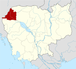 | |
| Phnum Srok District | ||
| Preah Netr Preah District | ||
| Ou Chrov District | ||
| Krong Serei Saophoan | ||
| Thma Puok District | ||
| Svay Chek District | ||
| Malai District | ||
| Krong Paoy Paet | ||
| Provincial capitals | ||
|---|---|---|
| Municipal cities | ||
| Other cities | ||