Siemensstadt
| Siemensstadt | |
|---|---|
| Quarter of Berlin | |
 Rapsstrasse | |
 Siemensstadt Location of Siemensstadt in Spandau district and Berlin 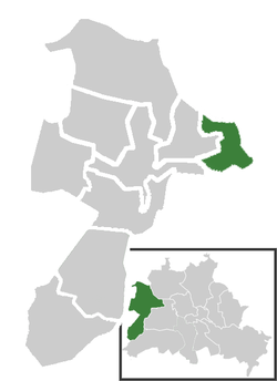 | |
| Coordinates: 52°32′26″N 13°15′47″E / 52.54056°N 13.26306°ECoordinates: 52°32′26″N 13°15′47″E / 52.54056°N 13.26306°E | |
| Country | Germany |
| State | Berlin |
| City | Berlin |
| Borough | Spandau |
| Founded | 1913 |
| Area | |
| • Total | 5.66 km2 (2.19 sq mi) |
| Elevation | 35 m (115 ft) |
| Population (2008-06-30) | |
| • Total | 11,388 |
| • Density | 2,000/km2 (5,200/sq mi) |
| Time zone | CET/CEST (UTC+1/+2) |
| Postal codes | (nr. 0503) 13629 |
| Vehicle registration | B |
Siemensstadt (![]()
History
The locality emerged when the company Siemens & Halske (S & H), one of the predecessors of today's Siemens AG, bought land in the area, in order to expand production of S & H and their subsidiary Siemens-Schuckertwerke (SSW) as well. On the initiative of Georg Wilhelm von Siemens S & H started to build new factories in 1899. Soon also residential buildings were erected. The locality was incorporated into Berlin on 1 October 1920 by the Greater Berlin Act.
Geography
Siemensstadt is situated in the eastern side of Spandau district. It borders with Spandau (locality), Haselhorst, Tegel (in Reinickendorf), Charlottenburg-Nord and Westend (both in Charlottenburg-Wilmersdorf). The Großsiedlung Siemensstadt is situated close to Siemensstadt but in Charlottenburg-Nord.
Transportation
Siemensstadt is served by the Berliner U-Bahn line U7 at the stations of Paulsternstrasse, Rohrdamm and Siemensdamm.
Images
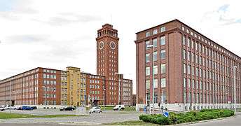 Siemens-Tower
 Wernerwerk (Werner's Factory)
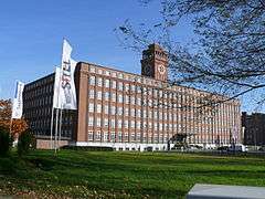 Wernerwerk II
_Berlin-Siemensstadt_002.jpg) Wernerwerk XV
Wernerwerk XV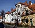 Rapsstrasse, northern part
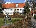 Rapsstrasse
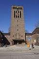 Christophorus Church
 Rohrdamm
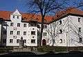 Genoveva-Fountain
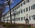 Rieppelstrasse
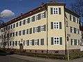 Rieppel- Ecke Dihlmannstrasse
 Maeckeritzstrasse
See also
External links
![]()
- (in German) Siemensstadt page on www.berlin.de
| |