Sherbro International Airport
| Sherbro International Airport | |||||||||||
|---|---|---|---|---|---|---|---|---|---|---|---|
| Summary | |||||||||||
| Airport type | Public (closed) | ||||||||||
| Operator | Sierra Leone Airports Authority | ||||||||||
| Serves | Bonthe | ||||||||||
| Closed | 2002 | ||||||||||
| Elevation AMSL | 14 ft / 4 m | ||||||||||
| Coordinates | 07°31′55″N 012°31′06″W / 7.53194°N 12.51833°W | ||||||||||
| Map | |||||||||||
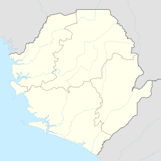 BTE Location within Sierra Leone | |||||||||||
| Runways | |||||||||||
| |||||||||||
Sherbro International Airport (IATA: BTE, ICAO: GFBN) was an international airport located outside the town of Bonthe on Sherbro Island, Sierra Leone.
The airport is reported closed[1][2] since around 2002, possibly in connection with the Sierra Leone Civil War.
There are plans to construct a new airport runway [3] on Sherbro Island. The runway will be part of a new development program for the island.
References
- ↑ "Sweet Salone". Sweet Salone. Retrieved 2018-08-24.
- ↑ "Google Maps". Google Maps. Retrieved 2018-08-24.
- ↑ "Sherbro Airport". sherbrobeachhutproject.20fr.com. Retrieved 2018-08-24.
External links
This article is issued from
Wikipedia.
The text is licensed under Creative Commons - Attribution - Sharealike.
Additional terms may apply for the media files.