Hastings Airport (Sierra Leone)
| Hastings Airport | |||||||||||
|---|---|---|---|---|---|---|---|---|---|---|---|
| Summary | |||||||||||
| Serves | Freetown | ||||||||||
| Location |
| ||||||||||
| Elevation AMSL | 60 ft / 18 m | ||||||||||
| Coordinates | 8°23′40″N 13°07′42″W / 8.39444°N 13.12833°WCoordinates: 8°23′40″N 13°07′42″W / 8.39444°N 13.12833°W | ||||||||||
| Map | |||||||||||
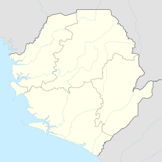 HGS Location of airport in Sierra Leone | |||||||||||
| Runways | |||||||||||
| |||||||||||
Hastings Airport (IATA: HGS, ICAO: GFHA) is an airport serving Freetown,[1] the capital city of Sierra Leone, a country in West Africa
Facilities
The airport resides at an elevation of 60 feet (18 m) above mean sea level. It has one runway designated 09/27 with an asphalt surface which is 960 metres (3,150 ft) in length.[1]
Airlines and destinations
| Airlines | Destinations |
|---|---|
| Eagle Air | Bo, Freetown-Lungi, Kenema, Yengema[3] Charter: Banjul, Conakry, Dakar, Gbangbatok, Kono, Monrovia |
References
- 1 2 3 Airport information for Freetown, Sierra Leone (GFHA / HGS) at Great Circle Mapper.
- ↑ Google Maps - Hastings
- ↑ "Eagle Air - Sierra Leone domestic scheduled air services". SierraLeoneTravel.com). Archived from the original on March 3, 2016. Retrieved June 18, 2012.
External links
This article is issued from
Wikipedia.
The text is licensed under Creative Commons - Attribution - Sharealike.
Additional terms may apply for the media files.