Shaty
| Shaty | |
|---|---|
 Shaty | |
| Coordinates: 42°47′02″N 78°22′53″E / 42.78389°N 78.38139°ECoordinates: 42°47′02″N 78°22′53″E / 42.78389°N 78.38139°E | |
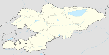
| Country | Kyrgyzstan |
| Region | Issyk-Kul Region |
| District | Tüp District |
| Elevation | 1,657 m (5,436 ft) |
| Population (2009) | |
| • Total | 1,310 |
| Time zone | UTC +5 |
Shaty is a village in the Tüp District of Issyk-Kul Region of Kyrgyzstan. Its population was 1,310 in 2009.[1]
References
- ↑ "2009 population census of the Kyrgyz Republic: Issyk-Kul Region" (PDF). Archived from the original (PDF) on 10 August 2011. Retrieved 2011-08-10.
This article is issued from
Wikipedia.
The text is licensed under Creative Commons - Attribution - Sharealike.
Additional terms may apply for the media files.