Selma Municipal Airport
| Selma Municipal Airport Selfield Field | |
|---|---|
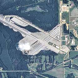 2006 USGS airphoto | |
| Summary | |
| Serves | Selma, Alabama |
| Coordinates | 32°26′20″N 086°57′13″W / 32.43889°N 86.95361°W |
| Map | |
 SES Location of Selma Municipal Airport | |
Selma Municipal Airport (IATA: SES), also known as Selma Selfield Airport, was an airport located 8 kilometres (5.0 mi) east-northeast of Selma, Alabama.
History
The field was always closely tied to operations at Craig and served as an auxiliary field for a number of years during World War II with the initiation of Undergraduate Pilot Training for the Air Force through the 1960s. It became a joint use facility in the early 1950s with Delta Air Lines operating DC-3 service and later Southern Airways. Selma Municipal Airport was closed in 1978 when the City of Selma relocated the municipal airport to the much larger Craig Air Force Base, which was closed by the Air Force after the Vietnam War.
Today the former airport is used by the Federal Emergency Management Agency (FEMA) for storage and maintenance of a large number of manufactured housing units to be used as temporary housing for disaster survivors.