Saratoga Springs, California
| Saratoga Springs | |
|---|---|
| Unincorporated community | |
 | |
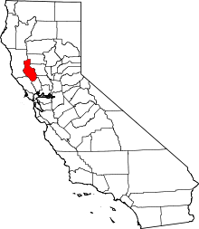
 Saratoga Springs Location in California  Saratoga Springs Saratoga Springs (the US) | |
| Coordinates: 39°10′31″N 122°58′51″W / 39.17528°N 122.98083°WCoordinates: 39°10′31″N 122°58′51″W / 39.17528°N 122.98083°W | |
| Country | United States |
| State | California |
| County | Lake County |
| Opened | 1873 |
| Area | |
| • Total | 260 acres (110 ha) |
| Elevation[1] | 1,427 ft (435 m) |
| Website | http://www.saratogasprings.com/ |
Saratoga Springs (formerly, Bachelor[2] and Pierson Springs[2]) is an unincorporated community in Lake County, California.[1] It is located 4 miles (6.4 km) west of Upper Lake,[2] at an elevation of 1427 feet (435 m).[1]
The town was originally located 3.5 miles (5.6 km) north of its present location.[2] The Bachelor post office opened in 1882, moved to this site in 1883, closed in 1919, reopened in 1920, and closed for good in 1940.[2]
The town has a resort, begun in the 1870s, which offered multiple cold mineral springs for bathing and a bottling plant for drinking, and by 1910 could accommodate 250 guests.[2] It included a stagecoach stop, dance hall and restaurant. Previously the springs had been frequented by the Pomo people. The resort reopened in 1991 after decades of disuse and continues in operation using some of the original buildings.

References
External links