Santa Rosa de Copán Airport
| Santa Rosa de Copán Airport | |||||||||||
|---|---|---|---|---|---|---|---|---|---|---|---|
| Summary | |||||||||||
| Serves | Santa Rosa de Copán | ||||||||||
| Elevation AMSL | 3,564 ft / 1,086 m | ||||||||||
| Coordinates | 14°46′38″N 88°46′30″W / 14.77722°N 88.77500°WCoordinates: 14°46′38″N 88°46′30″W / 14.77722°N 88.77500°W | ||||||||||
| Map | |||||||||||
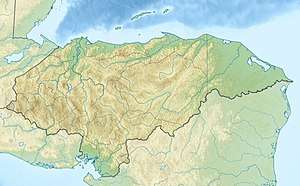 SDH Location in Honduras | |||||||||||
| Runways | |||||||||||
| |||||||||||
Santa Rosa de Copán Airport (IATA: SDH, ICAO: MHSR) was an airport formerly serving Santa Rosa de Copán, a municipality in Copán Department, Honduras.
The 10/2007 Google Earth Historical[4] image shows buildings covering the western half of the 710 metres (2,330 ft) gravel runway. Current aerial images show the runway completely built over.[1][2]
References
This article is issued from
Wikipedia.
The text is licensed under Creative Commons - Attribution - Sharealike.
Additional terms may apply for the media files.