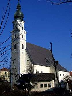
Sankt Marienkirchen bei Schärding
| Sankt Marienkirchen bei Schärding | ||
|---|---|---|
 | ||
| ||
 Sankt Marienkirchen bei Schärding Location within Austria | ||
| Coordinates: 48°23′00″N 13°27′00″E / 48.38333°N 13.45000°ECoordinates: 48°23′00″N 13°27′00″E / 48.38333°N 13.45000°E | ||
| Country | Austria | |
| State | Upper Austria | |
| District | Schärding | |
| Government | ||
| • Mayor | Bernhard Fischer (ÖVP) | |
| Area | ||
| • Total | 24.91 km2 (9.62 sq mi) | |
| Elevation | 338 m (1,109 ft) | |
| Population (14 June 2016)[1] | ||
| • Total | 1,794 | |
| • Density | 72/km2 (190/sq mi) | |
| Time zone | UTC+1 (CET) | |
| • Summer (DST) | UTC+2 (CEST) | |
| Postal code | 4774 | |
| Area code | 07711 | |
| Vehicle registration | SD | |
| Website | www.st-marienkirchen.at | |

Sankt Marienkirchen bei Schärding (German for "St. Mary's Church near Schärding") is a municipality in the district of Schärding in the Austrian state of Upper Austria.
Geography
Sankt Marienkirchen lies in the Innviertel. About 9 percent of the municipality is forest, and 74 percent is farmland.
References
- ↑ Statistik Austria - Bevölkerung zu Jahresbeginn 2002-2016 nach Gemeinden, Erstellt am 14.06.2016 (Last accessed 13.12.2016) for Sankt Marienkirchen bei Schärding.
| Wikimedia Commons has media related to Sankt Marienkirchen bei Schärding. |
This article is issued from
Wikipedia.
The text is licensed under Creative Commons - Attribution - Sharealike.
Additional terms may apply for the media files.