Sancti Spíritus Airport
| Sancti Spíritus Airport | |||||||||||
|---|---|---|---|---|---|---|---|---|---|---|---|
| Summary | |||||||||||
| Airport type | Public | ||||||||||
| Serves | Sancti Spíritus, Cuba | ||||||||||
| Elevation AMSL | 90 m / 295 ft | ||||||||||
| Coordinates | 21°58′12″N 079°26′34″W / 21.97000°N 79.44278°WCoordinates: 21°58′12″N 079°26′34″W / 21.97000°N 79.44278°W | ||||||||||
| Map | |||||||||||
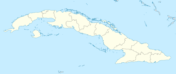 MUSS Location in Cuba | |||||||||||
| Runways | |||||||||||
| |||||||||||
Sancti Spíritus Airport (IATA: USS, ICAO: MUSS) is an airport serving Sancti Spíritus,[1] the capital city of the Sancti Spíritus Province in Cuba.
Facilities
The airport resides at an elevation of 90 m (295 ft) above mean sea level. It has one runway designated 03/21 with an asphalt surface measuring 1,801 m × 29 m (5,909 ft × 95 ft).[1]
References
- 1 2 3 Airport information for MUSS at World Aero Data. Data current as of October 2006.Source: DAFIF.
- ↑ Airport information for USS at Great Circle Mapper. Source: DAFIF (effective October 2006).
External links
This article is issued from
Wikipedia.
The text is licensed under Creative Commons - Attribution - Sharealike.
Additional terms may apply for the media files.