Samrala
| Samrala | |
|---|---|
| Municipal Council | |
 Main Chowk Samrala | |
 Samrala Location in Punjab, India | |
| Coordinates: 30°50′N 76°11′E / 30.84°N 76.19°ECoordinates: 30°50′N 76°11′E / 30.84°N 76.19°E | |
| Country |
|
| State | Punjab |
| District | Ludhiana |
| Elevation | 249 m (817 ft) |
| Population (2011) | |
| • Total | 19,678 |
| Time zone | UTC+5:30 (IST) |
| Area code(s) | 01628 |
| Vehicle registration | PB 43 |
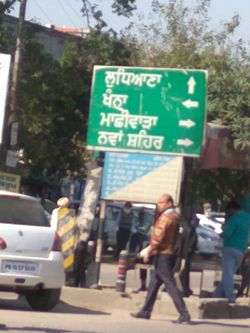
Samrala is a city and a municipal council in Ludhiana district in the Indian state of Punjab. It is about 35 km east of the district headquarters Ludhiana, on the highway to Chandigarh. Samrala is a Class III Municipality. It is also known for the oldest tehsil situated in this city. It is also believed that the name Samrala came from the name of two brothers Sama and Rala.
Geography
Samrala is located at 30°50′N 76°11′E / 30.84°N 76.19°E.[1] It has an average elevation of 249 metres (816 feet).
Demographics
As of 2011 Samrala has population of 19,678 of which 10,375 are males while 9,303 are females as per report released by Census India 2011.
Population of Children with age of 0-6 is 2008 which is 10.20% of total population of Samrala. In Samrala Female Sex Ratio is of 897 against state average of 895. Moreover Child Sex Ratio in Samrala is around 803 compared to Punjab state average of 846. Literacy rate of Samrala city is 83.70% higher than state average of 75.84%. In Samrala, Male literacy is around 87.28% while female literacy rate is 79.76%.
Samrala has substantial population of Schedule Caste. Schedule Caste (SC) constitutes 29.11% of total population in Samrala. Samrala currently doesn’t have any Schedule Tribe (ST) population.