Sabujbagh Thana
| Sabujbagh সবুজবাগ | |
|---|---|
| Thana | |
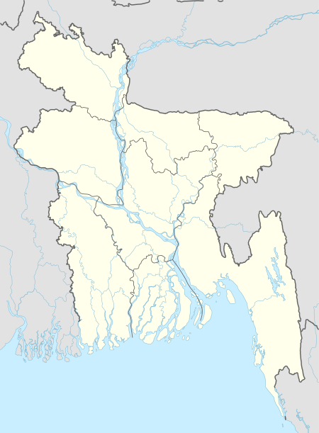
 Sabujbagh Location in Bangladesh | |
| Coordinates: 23°44′N 90°26′E / 23.733°N 90.433°ECoordinates: 23°44′N 90°26′E / 23.733°N 90.433°E | |
| Country |
|
| Division | Dhaka Division |
| District | Dhaka District |
| Area | |
| • Total | 18.18 km2 (7.02 sq mi) |
| Population (1991) | |
| • Total | 354,989 |
| • Density | 19,526/km2 (50,570/sq mi) |
| Time zone | UTC+6 (BST) |
| Website |
bangladesh |
Sabujbagh (Bengali: সবুজবাগ) is a Thana of Dhaka District in the Division of Dhaka, Bangladesh. Its one of the mostly dense populated area in Dhaka. Wohab colony slam duelers makes lots of trouble in this Thana.
Geography
Sabujbagh is located at 23°44′00″N 90°26′00″E / 23.7333°N 90.4333°E . It has 65517 households and total area 18.18 km².
Demographics
At the 1991 Bangladesh census, Sabujbagh had a population of 354989, of whom 201,739 were aged 18 or older. Males constituted 54.44% of the population, and females 45.56%. Sabujbagh had an average literacy rate of 60% (7+ years), against the national average of 32.4%.[1]
Education
Schools and Colleges in Sabujbagh
- Basaboo Boys' and Girls' High School,
- Motijheel Model High School and College, Basaboo Branch,
- Kadamtala Purbo Basaboo High School and college,
- Madartek Abdul Aziz School and College,
- Kamalapur School and College,
- Central Ideal School And College
- Mugda Para Kazi Zafor Ahmed High School
- Ideal School and College, Mugdapara Branch,
- Dharmarajika Orphanage Residential High School
- Haider Ali High School and College, Manda
See also
References
- ↑ "Population Census Wing, BBS". Archived from the original on 2005-03-27. Retrieved November 10, 2006.
This article is issued from
Wikipedia.
The text is licensed under Creative Commons - Attribution - Sharealike.
Additional terms may apply for the media files.