Saadah Airport
| Saadah Airport Sadah | |||||||||||
|---|---|---|---|---|---|---|---|---|---|---|---|
| Summary | |||||||||||
| Airport type | Public | ||||||||||
| Serves | Sa'dah | ||||||||||
| Elevation AMSL | 5,940 ft / 1,811 m | ||||||||||
| Coordinates | 16°58′00″N 43°43′45″E / 16.96667°N 43.72917°ECoordinates: 16°58′00″N 43°43′45″E / 16.96667°N 43.72917°E | ||||||||||
| Map | |||||||||||
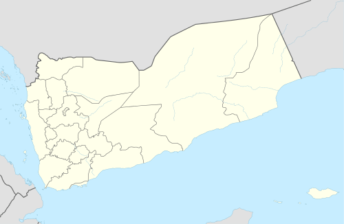 SYE Location of the airport in Yemen | |||||||||||
| Runways | |||||||||||
| |||||||||||
|
Source: Google Maps[1] | |||||||||||
Saadah (IATA: SYE, ICAO: OYSH) is an airport serving the town of Sa'dah in Yemen.
See also

References
External links
This article is issued from
Wikipedia.
The text is licensed under Creative Commons - Attribution - Sharealike.
Additional terms may apply for the media files.