Marib Airport
| Marib Airport Mareb Airport | |||||||||||
|---|---|---|---|---|---|---|---|---|---|---|---|
| Summary | |||||||||||
| Airport type | Public | ||||||||||
| Serves | Ma'rib | ||||||||||
| Elevation AMSL | 3,300 ft / 1,006 m | ||||||||||
| Coordinates | 15°28′10″N 45°19′40″E / 15.46944°N 45.32778°ECoordinates: 15°28′10″N 45°19′40″E / 15.46944°N 45.32778°E | ||||||||||
| Map | |||||||||||
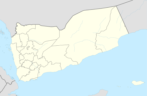 MYN Location of the airport in Yemen | |||||||||||
| Runways | |||||||||||
| |||||||||||
|
Source: Google Maps[1] | |||||||||||
Marib (IATA: MYN, ICAO: OYMB) is an airport serving the town of Ma'rib in Yemen.
See also

References
External links
This article is issued from
Wikipedia.
The text is licensed under Creative Commons - Attribution - Sharealike.
Additional terms may apply for the media files.