Ruten (Hemne)
| Ruten | |
|---|---|
 Ruten seen from the mountain Vardfjellet | |
| Highest point | |
| Elevation | 1,040 m (3,410 ft) [1] |
| Prominence | 742 m (2,434 ft) [1] |
| Isolation | 23.91 km (14.86 mi) [1] |
| Coordinates | 63°10′23″N 9°08′37″E / 63.1730°N 09.1436°ECoordinates: 63°10′23″N 9°08′37″E / 63.1730°N 09.1436°E [2] |
| Geography | |
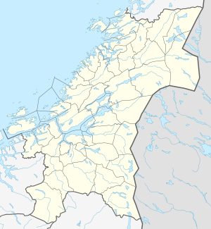
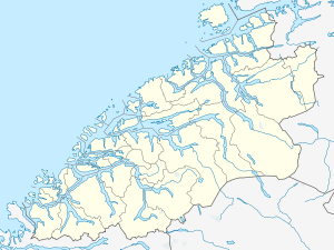
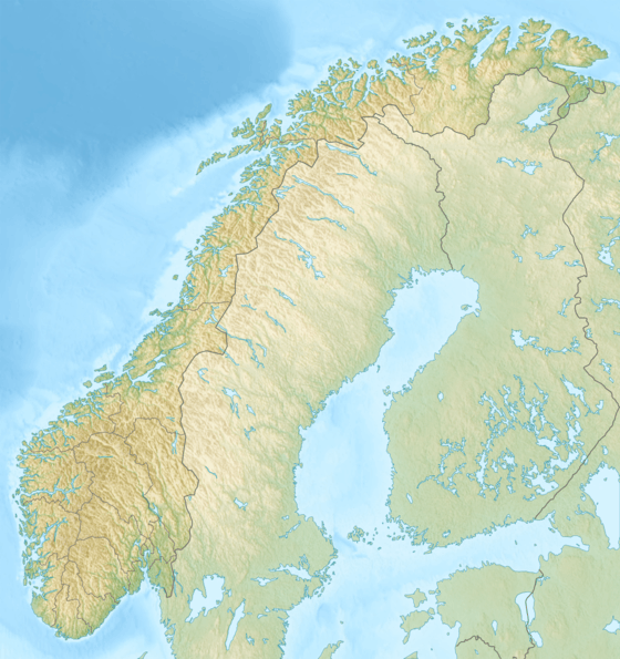
 Ruten Location of the mountain  Ruten Ruten (Møre og Romsdal)  Ruten Ruten (Norway) | |
| Location | Trøndelag and Møre og Romsdal |
Ruten is a mountain on the border of Trøndelag and Møre og Romsdal counties in Norway. The 1,040-metre (3,410 ft) tall mountain is located in the municipalities of Hemne (in Trøndelag) and Rindal (in Møre og Romsdal). The mountain stands about 8 kilometres (5.0 mi) southeast of the village of Vinjeøra. This is the highest point in Hemne municipality.[3] The mountain has a topographic prominence of 742 metres (2,434 ft) and a topographic isolation of 23.91 kilometres (14.86 mi).[1]
References
- 1 2 3 4 "Høyeste fjelltopp i hver kommune" (in Norwegian). Kartverket. Archived from the original on 2014-10-15.
- ↑ "Ruten, Hemne (Trøndelag)" (in Norwegian). yr.no. Retrieved 2017-03-23.
- ↑ "Ruten" (in Norwegian). Hemneportalen.
This article is issued from
Wikipedia.
The text is licensed under Creative Commons - Attribution - Sharealike.
Additional terms may apply for the media files.