Rupal Peak
| Rupal Peak روپل | |
|---|---|
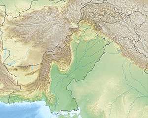 Rupal Peak روپل Location in Northern Pakistan | |
| Highest point | |
| Elevation | 5,642 m (18,510 ft) |
| Coordinates | 35°08′56.05″N 74°37′7.80″E / 35.1489028°N 74.6188333°ECoordinates: 35°08′56.05″N 74°37′7.80″E / 35.1489028°N 74.6188333°E |
| Geography | |
| Location | Rupal Valley, Astore District, Pakistan |
| Parent range | Himalayas |
| Climbing | |
| First ascent | 1964 |
| Easiest route | Standard Route from West |
Rupal Peak (Urdu: روپل) is a mountain in Pakistan's western Himalayas. The peak is located just south of Nanga Parbat on the Rupal Valley and is sometimes climbed by mountaineers as they acclimatize for higher local peaks. Despite its unique beauty, steep north face and impressive height, Rupal is greatly overshadowed by Nanga Parbat, the Mazeno Wall, and the mighty Rupal Face. To its west lie Laila Peak and Shaigiri, and to its north flows the Rupal Glacier which later forms the Rupal River.
See also
External links
This article is issued from
Wikipedia.
The text is licensed under Creative Commons - Attribution - Sharealike.
Additional terms may apply for the media files.