Rumelikavağı
| Rumelikavağı | |
|---|---|
| Neighborhood | |
 A view of the Rumelikavağı skyline from the Bosphorus | |
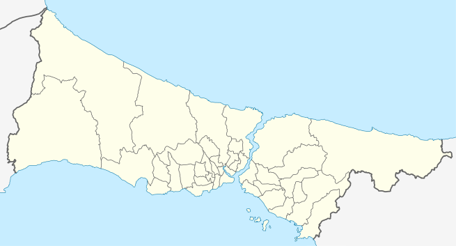 Rumelikavağı Location of Rumelikavağı in Istanbul, turkey | |
| Coordinates: 41°10′54″N 29°4′30″E / 41.18167°N 29.07500°ECoordinates: 41°10′54″N 29°4′30″E / 41.18167°N 29.07500°E | |
| Country |
|
| Region | Marmara |
| Province | Istanbul |
| District | Sarıyer |
| Time zone | UTC+3 (EET) |
| • Summer (DST) | UTC+3 (EEST) |
| Postal code | 34450 |
| Area code | 0-212 |
Rumelikavağı, also known as Rumeli Kavağı, is a neighborhood of Sarıyer district in İstanbul Province, Turkey. "Rumeli" is the Turkish name for Thrace, and "Kavak" means "control post" in Ottoman Turkish referring to the strategical position of the location on the Bosporous. The ferry pier which is the center of the neighborhood is at 41°10′54″N 29°04′30″E / 41.18167°N 29.07500°E[1]
Formerly, it was a small fishing village. In the 17th century, a castle was built to check Cossack naval assaults from the Black Sea. In 1877, during the Russo-Turkish War (1877-1878), a part of the immigrants from the Russian occupied provinces settled in Rumelikavağı. Up until the 1960s, most of Rumelikavağı was a restricted zone by military.
There are many places of interest in Rumelikavağı, such as ruins of medieval castles, mosques, churches, fountains, hamams etc.[2] The Yavuz Sultan Selim Bridge over the Bosphorus is to the north of the neighborhood.
See also
References
| Beşiktaş | |
|---|---|
| Sarıyer | |
| Wikimedia Commons has media related to Rumeli Kavağı. |