Rozhniativ
| Rozhniativ Рожнятів | |
|---|---|
| Town | |
 | |
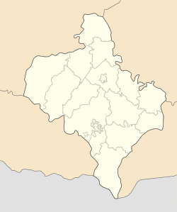
 Rozhniativ Location of Rozhniativ, Ukraine | |
| Coordinates: 48°56′11″N 24°09′17″E / 48.93639°N 24.15472°ECoordinates: 48°56′11″N 24°09′17″E / 48.93639°N 24.15472°E | |
| Country | Ukraine |
| Oblast | Ivano-Frankivsk Oblast |
| Raion | Rozhniativ |
| Area | |
| • Total | 19.23 km2 (7.42 sq mi) |
| Elevation | 367 m (1,204 ft) |
| Population (2016) | |
| • Total | 3,947 |
| • Density | 208.16/km2 (539.1/sq mi) |
| Area code(s) | +380 3474 |
| Website | селище Рожнятів (Ukrainian) |
Rozhniativ (Ukrainian: Рожня́тів; formerly: Рожнітів, Polish: Rożniatów, Rozhnitiv) is an urban-type settlement in Ivano-Frankivsk Oblast, Ukraine. It is the administrative center of the Rozhniativ Raion. Population: 3,947 (2016 est.)[1].
Location
- Local orientation
- Regional orientation
References
- ↑ "Чисельність наявного населення України (Actual population of Ukraine)" (PDF) (in Ukrainian). State Statistics Service of Ukraine. Retrieved 19 July 2016.
External links
This article is issued from
Wikipedia.
The text is licensed under Creative Commons - Attribution - Sharealike.
Additional terms may apply for the media files.