Rovensko
| Rovensko | |
|---|---|
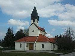 Local church in Rovensko, Slovakia | |
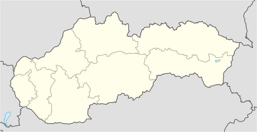 Rovensko Location in Slovakia | |
| Coordinates: 48°43′00″N 17°23′00″E / 48.71667°N 17.38333°ECoordinates: 48°43′00″N 17°23′00″E / 48.71667°N 17.38333°E | |
| Population (2007) | 393 |
| Time zone | UTC+1 (CET) |
| • Summer (DST) | UTC+2 (CEST) |
| Postcode | 905 01 |
| Area code | 034 |
| Website | www.rovensko.sk |
| www.e-obce.sk[1] | |
Rovensko (Hungarian: Berencsróna, til 1899: Rovenszkó) is a village and municipality administered as part of Senica District in the Trnava Region of western Slovakia. The village is about 5 km NNE of the town of Senica and is close to the border with the Czech Republic.
History
In historical records the village was first mentioned in 1439.
Geography
The municipality lies at an altitude of 216 metres and covers an area of 1,040 hectares. In 2007 the population was 393.
Notes
External links
Municipalities of Senica District | ||
|---|---|---|
| Wikimedia Commons has media related to Rovensko. |
This article is issued from
Wikipedia.
The text is licensed under Creative Commons - Attribution - Sharealike.
Additional terms may apply for the media files.