Podbranč
| Podbranč | |
| Village | |
 Branč Castle above the village | |
| Country | Slovakia |
|---|---|
| Region | Trnava |
| District | Senica |
| Elevation | 420 m (1,378 ft) |
| Coordinates | 48°44′N 17°28′E / 48.733°N 17.467°ECoordinates: 48°44′N 17°28′E / 48.733°N 17.467°E |
| Area | 14.137 km2 (5.46 sq mi) |
| Population | 645 (2004-12-31) |
| Density | 46/km2 (119/sq mi) |
| First mentioned | 1394 |
| Postal code | 906 41 |
| Area code | +421-34 |
| Car plate | SE |
  Location of Podbranč in Slovakia | |
 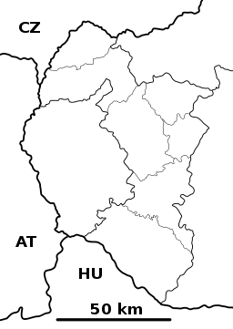 Location of Podbranč in the Trnava Region | |
| Statistics: MOŠ/MIS | |
| Website: www.podbranc.sk | |
Podbranč (Hungarian: Berencsváralja) is a village and municipality in Senica District in the Trnava Region of western Slovakia.
History
In historical records the village was first mentioned in 1297.
Geography
The municipality lies at an altitude of 420 metres and covers an area of 14.137 km². It has a population of about 645 people.
External links
Municipalities of Senica District | ||
|---|---|---|
This article is issued from
Wikipedia.
The text is licensed under Creative Commons - Attribution - Sharealike.
Additional terms may apply for the media files.