Route 30 (Iceland)
| |
|---|---|
| Skeiða- og Hrunamannavegur | |
 | |
| Route information | |
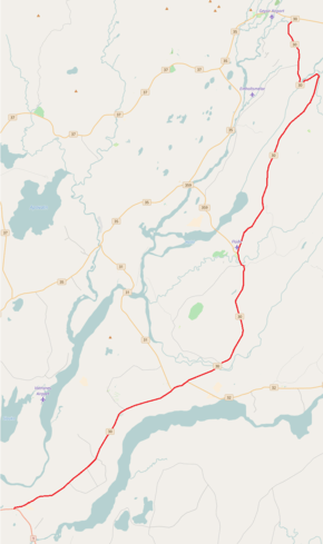
| Length | 56 km[1] (35 mi) |
| Major junctions | |
| Southern end | 1 |
|
321 Skeiðháholtsvegur 322 Ólafsvallavegur 324 Vorsabæjarvegur 31 Skálholtsvegur 32 Þjórsárdalsvegur 340 Auðsholtsvegur 344 Hrunavegur 341 Langholtsvegur 359 Bræðratunguvegur 349 Tungufellsvegur 358 Einholtsvegur | |
| Northern end | 35 Biskupstungnabraut |
| Highway system | |
| National Roads in Iceland | |

Skeiða- og Hrunamannavegur or Route 30 is a national road in the Southern Region of Iceland. It runs from Route 1 east of Þjórsá, through the village of Flúðir to the intersection of Biskupstungnabraut.
References
This article is issued from
Wikipedia.
The text is licensed under Creative Commons - Attribution - Sharealike.
Additional terms may apply for the media files.