Roca Redonda
| Roca Redonda | |
|---|---|
 Roca Redonda | |
| Highest point | |
| Elevation | 67 m (220 ft) |
| Prominence | 67 m (220 ft) |
| Coordinates | 0°16′N 91°38′W / 0.27°N 91.63°WCoordinates: 0°16′N 91°38′W / 0.27°N 91.63°W |
| Geography | |
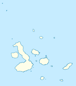
| Location | Galápagos Islands, Ecuador |
| Geology | |
| Mountain type | Shield volcano |
| Last eruption | Unknown |
Roca Redonda is a flat-topped, steep-sided islet located roughly 25 km (16 mi) northwest of the island of Isabela, in the Galápagos Islands of Ecuador. It measures 100 m (330 ft) long and 50 m (160 ft) wide with a maximum elevation of 67 m (220 ft).[1] Its isolation and inaccessibility coupled with its rocky cliffs riddled with crevices and crossed by ledges has made Roca Redonda a haven for nesting seabirds.[2]
This small volcanic island is the remains of a large shield volcano that has vastly eroded away below sea level. Potassium–argon dating of Roca Redonda indicates that the islet is at least 53,000 +/- 54,000 years old.[1] However, it remains unknown when the last eruption occurred from the shield volcano. Several shallow submarine fumaroles exist around the island and may indicate that the volcano is still active.[3]
See also
References
- 1 2 "Roca Redonda". Global Volcanism Program. Smithsonian Institution. Retrieved 2016-09-16.
- ↑ Hess, John (2009). The Galápagos: Exploring Darwin's Tapestry. University of Missouri Press. p. 42. ISBN 978-0-8262-1837-7.
- ↑ "The emergence of a Galápagos shield volcano, Roca Redonda". Springer-Verlag.
| Main islands | |
|---|---|
| Minor islands | |
| Volcanoes | |
| |