Riva, Istanbul
| Riva (Çayağzı) | |
|---|---|
| Neighborhood | |
.jpg) | |
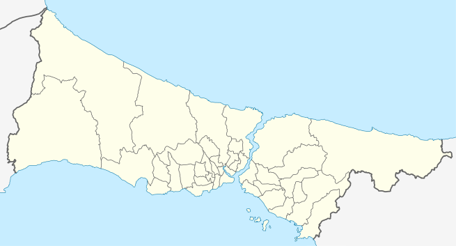 Riva Location in Istanbul, Turkey | |
| Coordinates: 41°13′28″N 29°13′08″E / 41.22444°N 29.21889°ECoordinates: 41°13′28″N 29°13′08″E / 41.22444°N 29.21889°E | |
| Country |
|
| Province | İstanbul Province |
| District | Beykoz |
| Elevation | 15 m (45 ft) |
| Population (2011) | |
| • Total | 1,585 |
| Time zone | UTC+2 (EET) |
| • Summer (DST) | UTC+3 (EEST) |
| Postal code | 34829 |
| Area code(s) | 0216 |
| Licence plate | 34 |
Riva (also called Çayağzı) is a village, administratively a neighborhood, in Beykoz intracity district of Istanbul Province, Turkey. It is a coastal village in the Anatolian part of Greater Istanbul, situated between Anadolu Feneri and Şile.[1] Çayağzı creek flows to Black Sea with in the village and there is a wide beach to the west of the creek. The distance to Beykoz center is about 16 kilometres (9.9 mi). The population of Riva is 1,585 as of 2011.[2] Before the First World War, majority of the village population was composed of Greeks. But after the population exchange between Greece and Turkey in the 1920s, Greeks left the village and Turks from the Black Sea region settled in the village.
Although a part of Greater Istanbul, the village still keeps some rural features. The Byzantine era Riva Castle sits on a hill where the Riva Stream (also known as the Rheba or Irve Stream) meets the Black Sea.
References
| Wikimedia Commons has media related to Riva (Beykoz). |