Rhodes, Nevada
| Rhodes | |
| Ghost town | |
| Name origin: Named for A. J. Rhoades, who worked the nearby salt marsh. [1] | |
| Country | United States |
|---|---|
| State | Nevada |
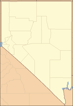
| County | Mineral |
| Elevation | 4,357 ft (1,328 m) [2] |
| Coordinates | 38°16′42″N 118°05′49″W / 38.27833°N 118.09694°WCoordinates: 38°16′42″N 118°05′49″W / 38.27833°N 118.09694°W [2] |
| Timezone | Pacific (PST) (UTC-8) |
| - summer (DST) | PDT (UTC-7) |
 Location of Rhodes in Nevada | |
| Wikimedia Commons: Blair, Nevada | |
Rhodes, Nevada is a former rail station on the Carson and Colorado Railway in Mineral County, Nevada. [2]
Until 1862, salt was transported from San Francisco to the Comstock Lode, Virginia City, Nevada at a cost of US$150 (equivalent to $3,677 in 2017)/ton. In 1862, salt was mined in nearby Rhodes Salt Marsh[3] and transported using imported camels at half that cost. In 1863, salt was discovered at Sand Springs Marsh and found to be cheaper than salt from Rhodes Salt Marsh. In 1869, salt from Rhodes Salt Marsh was transported to Columbus, Nevada and Belmont, Nevada. In 1874 and in 1882, one ton per day of borax was being produced. [4]
References
- ↑ Bancroft, Hubert Howe (1890). Nevada, Colorado and Wyoming. 1890. p. 260. Retrieved 2018-08-09.
- 1 2 3 "Rhodes". Geographic Names Information System. United States Geological Survey. 12 Dec 1980. Retrieved 9 Aug 2018.
- ↑ . "Rhodes Salt Marsh". Geographic Names Information System. United States Geological Survey. 12 Dec 1980. Retrieved 9 Aug 2018.
- ↑ Lincoln, Francis Church (1923), Mining Districts and Mineral Resources of Nevada, University of Nevada, p. 152, retrieved 9 Aug 2018
Municipalities and communities of Mineral County, Nevada, United States | ||
|---|---|---|
| CDPs | 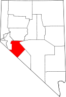 | |
| Unincorporated community | ||
| Indian reservation | ||
| Ghost towns | ||
This article is issued from
Wikipedia.
The text is licensed under Creative Commons - Attribution - Sharealike.
Additional terms may apply for the media files.