Ratmata
| Ratmata रातमाटा | |
|---|---|
| Village development committee | |
 Ratmata Location in Nepal | |
| Coordinates: 27°19′N 86°36′E / 27.32°N 86.60°ECoordinates: 27°19′N 86°36′E / 27.32°N 86.60°E | |
| Country |
|
| Zone | Sagarmatha Zone |
| District | Okhaldhunga District |
| Population (1991) | |
| • Total | 2,507 |
| Time zone | UTC+5:45 (Nepal Time) |
Ratmata is a village development committee in Okhaldhunga District in the Sagarmatha Zone of mid-eastern Nepal. At the time of the 1991 Nepal census it had a population of 2507 living in 450 individual households.[1]
References
- ↑ "Nepal Census 2001", Nepal's Village Development Committees, Digital Himalaya, retrieved 15 November 2009 .
External links
Headquarter: Okhaldhunga | ||
| Urban Municipality | 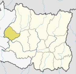 | |
| Rural Municipality | ||
This article is issued from
Wikipedia.
The text is licensed under Creative Commons - Attribution - Sharealike.
Additional terms may apply for the media files.