Ram Falls Provincial Park
| Ram Falls Provincial Park | |
|---|---|
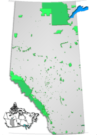
 Location of Ram Falls Provincial Park in Alberta
 | |
| Location | Clearwater County, Alberta, Canada |
| Nearest city |
Nordegg Rocky Mountain House |
| Coordinates | 52°05′49″N 115°50′21″W / 52.09694°N 115.83917°WCoordinates: 52°05′49″N 115°50′21″W / 52.09694°N 115.83917°W |
| Governing body | Alberta Tourism, Parks and Recreation |
Ram Falls Provincial Park is a provincial park in Alberta, Canada, located 64 km (40 mi) south of Nordegg and 95 km (59 mi) west of Rocky Mountain House on Highway 734.
The park is situated in the Canadian Rockies foothills, along the Ram River valley, in a section dominated by steep river banks with small lakes divided by waterfalls, at an elevation of 1,570 m (5,150 ft).
Activities
The following activities are available in the park:[1]
- Bird watching (Golden eagles, bald eagles, merlins, American kestrels and American dippers)
- Camping
- Cross-country skiing and back-country skiing
- Fishing (bull trout, westslope cutthroat trout, mountain whitefish)
- Front country hiking
- Horseback riding (but horses are not permitted in the recreation area)
- Off-site OHV and snowmobile riding
- Wildlife watching
See also
References
- ↑ Alberta Community Development. "Activities in Ram Falls Provincial Park". Retrieved 2007-07-14.
External links
- Alberta Community Development. "Ram Falls Provincial Park". Retrieved 2007-07-14.
- Alberta West Country. "Ram River Falls". Retrieved 2009-10-21.
This article is issued from
Wikipedia.
The text is licensed under Creative Commons - Attribution - Sharealike.
Additional terms may apply for the media files.