Qelelevu
| Qelelevu | |
|---|---|
| Island | |
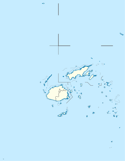 Qelelevu Location in Fiji | |
| Coordinates: 16°05′S 179°10′W / 16.083°S 179.167°WCoordinates: 16°05′S 179°10′W / 16.083°S 179.167°W | |
| Country | Fiji |
| Archipelago | Ringgold Isles |
| Area | |
| • Total | 1.5 km2 (0.6 sq mi) |
| Elevation | 12 m (39 ft) |
|
Qelelevu | |
| Geography | |
|---|---|
| Coordinates | 16°05′S 179°10′W / 16.083°S 179.167°W |
| Archipelago | Ringgold Isles |
| Area | 1.5 km2 (0.58 sq mi) |
| Highest elevation | 12 m (39 ft) |
| Administration | |
Qelelevu is a coral islet in Fiji, a member of the Ringgold Isles archipelago, which forms an outlier to the northern island of Vanua Levu. Apart from two nearby coral islets, Tai Ni Beka and Tauraria due west on the same atoll rim, it is 30 kilometres (19 mi) from the nearest island, which is Vetauua, to the West. Qelelevu covers an area of 1.5 square kilometers. Its maximum elevation is 12 metres (39 ft).
The small village of Nalutu (16°05′15″S 179°09′07″W / 16.087453°S 179.151907°W) is located on Qelelevu. Fishing is the only significant economic activity.
The atoll habitat of the island contributes to its national significance as outlined in Fiji's Biodiversity Strategy and Action Plan.[1]
References
- ↑ Ganilau, Bernadette Rounds (2007). Fiji Biodiversity Strategy and Action Plan (PDF). Convention on Biological Diversity. pp. 107–112. Retrieved 28 May 2017.
This article is issued from
Wikipedia.
The text is licensed under Creative Commons - Attribution - Sharealike.
Additional terms may apply for the media files.