Pongara National Park
| Pongara National Park | |
|---|---|
|
IUCN category II (national park) | |
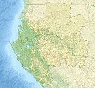 | |
| Location | Gabon |
| Coordinates | 0°23′N 9°25′E / 0.383°N 9.417°ECoordinates: 0°23′N 9°25′E / 0.383°N 9.417°E |
| Area | 929 km² |
| Governing body | National Agency for National Parks |
| Official name | Parc National Pongara |
| Designated | 2 February 2007 |
| Reference no. | 1653[1] |
Pongara National Park is a national park in Gabon near the capital Libreville along the Komo estuary and the Atlantic Ocean. It covers an area of 929 km². [2] The national park is composed chiefly of mangrove forests.
References
- ↑ "Parc National Pongara". Ramsar Sites Information Service. Retrieved 25 April 2018.
- ↑ mahale.web.infoseek.co.jp, Retrieved on June 18, 2008
External links
This article is issued from
Wikipedia.
The text is licensed under Creative Commons - Attribution - Sharealike.
Additional terms may apply for the media files.