Moukalaba-Doudou National Park
| Moukalaba-Doudou National Park | |
|---|---|
|
IUCN category II (national park) | |
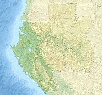 Location within Gabon | |
| Location | Nyanga, Ogooué-Maritime, Gabon |
| Coordinates | 2°26′S 10°25′E / 2.43°S 10.42°ECoordinates: 2°26′S 10°25′E / 2.43°S 10.42°E[1] |
| Area | 4,500 km2 (1,700 sq mi) |
| Governing body | National Agency for National Parks |
Moukalaba-Doudou National Park is a national park in Gabon. It covers an area of 4,500 km2 (1,700 sq mi).[2] The national park includes various habitat types, including humid rain forest and savannah grasslands.[3]
The WWF started a development programme in the park in 1996.
World Heritage Status
This site was added to the UNESCO World Heritage Tentative List on October 20, 2005 in the Mixed (Cultural & Natural) category.[3]
References
- ↑ "Moukalaba Doudou National Park". protectedplanet.net.
- ↑ Operation Loango Archived 2008-05-17 at the Wayback Machine., Retrieved on June 18, 2008
- 1 2 Parc National Moukalaba-Doudou - UNESCO World Heritage Centre
External links
This article is issued from
Wikipedia.
The text is licensed under Creative Commons - Attribution - Sharealike.
Additional terms may apply for the media files.