Policard, Chantal, Haiti
| Policard | |
|---|---|
| Rural settlement | |
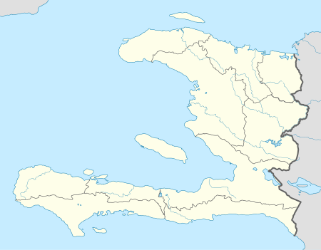 Policard Location in Haiti | |
| Coordinates: 18°18′09″N 73°00′50″W / 18.3025309°N 73.013801°WCoordinates: 18°18′09″N 73°00′50″W / 18.3025309°N 73.013801°W | |
| Country | Haiti |
| Department | Sud |
| Arrondissement | Les Cayes |
| Elevation | 809 m (2,654 ft) |
Policard is a town in the Chantal commune of the Les Cayes Arrondissement, in the Sud department of Haiti.[1]
References
- ↑ Google (27 August 2014). "Location" (Map). Google Maps. Google. Retrieved 27 August 2014.
This article is issued from
Wikipedia.
The text is licensed under Creative Commons - Attribution - Sharealike.
Additional terms may apply for the media files.