Poiana Ruscă Mountains
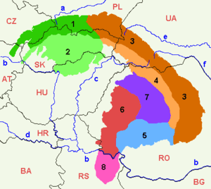
The Poiana Ruscă Mountains (part of the Western Carpathians)[1] are a Carpathian mountain range in western Romania. Its highest summit is the Padeș Peak, at 1,374 m. The Poiana Ruscă Mountains are situated roughly south of the river Mureş, northeast of the river Timiș and west of the river Strei. The Bega River emerges from these mountains. The nearest large towns are Lugoj, Hunedoara and Caransebeș.
Mining
The mountains contain resources such as magnetite, iron, thorium and lead, and as such are the site of many mines. In the nineteenth century, the mountains were also centers of gold, silver, and salt mining and production.[2] However, after 1990 some mines were closed and others abandoned, leaving waste ore and radioactive mines still unprotected in the mountain range.[3]
Divisions of the mountains
- Poiana Ruscă (literally: Ruscă Meadows)
- Lipova Plateau (Podișul Lipovei)
- Bega-Timiș Groove (Culoarul Bega-Timiș)
- Orăștie Groove (Culoarul Orăștiei), incl. Hațeg Depression (Depresiunea Hațegului)
References
- ↑ "Route H1 - Hiking in Meridionali Carpathians". Activ Travel. Retrieved 2009-03-01.
- ↑ "namr.ro". Archived from the original on 2013-04-16. Retrieved 2009-03-01.
- ↑ "Polluted Places: Poiana Rusca Mountains, Romania". Archived from the original on 2008-06-18. Retrieved 2009-03-01.