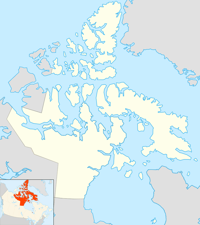
Pelly Bay
| Pelly Bay | |
|---|---|
 Pelly Bay Location in Nunavut | |
| Location | Gulf of Boothia |
| Coordinates | 68°53′N 90°5′W / 68.883°N 90.083°WCoordinates: 68°53′N 90°5′W / 68.883°N 90.083°W |
| Basin countries | Canada |
| Settlements | Kugaaruk |
Pelly Bay is an Arctic waterway in Kitikmeot Region, Nunavut, Canada. It is located in the Gulf of Boothia. To the east, it is bounded by the Simpson Peninsula. Helen Island lies in the bay.[1]
The settlement of Kugaaruk is located on the bay's eastern shore. Until 1999, Kugaaruk was also known as Pelly Bay.
References
- ↑ "Pelly Bay". Mapcarta. Retrieved 11 April 2016.
This article is issued from
Wikipedia.
The text is licensed under Creative Commons - Attribution - Sharealike.
Additional terms may apply for the media files.