Pelelu Tepu
| Pelelu Tepu Përëru Tëpu Peleloe Tepoe | |
|---|---|
| Village | |
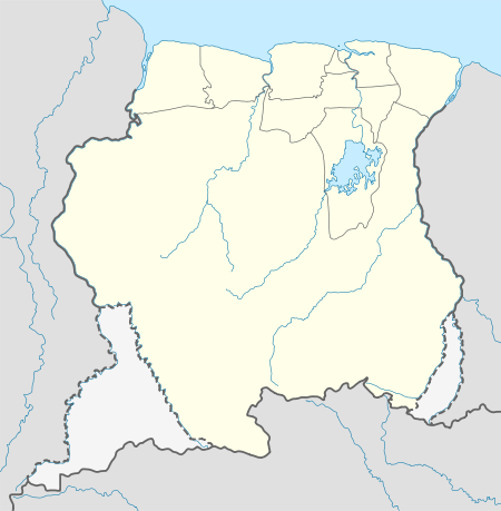 Pelelu Tepu Location in Suriname | |
| Coordinates: 3°9′35″N 55°43′7″W / 3.15972°N 55.71861°W | |
| Country |
|
| District | Sipaliwini District |
| Resort (municipality) | Tapanahony |
| Population (2007) | |
| • Total | 393[1] |
Pelelu Tepu is a small Amerindian village in the interior of Suriname. Also known as "Pe'reru Tepu", the village is typically referred to simply as "Tepu," which mean "high" in the Indian Tiriyó language. The village is located on Tepu hill, on the Tapanahoni River. Though inhabited by Amerindian tribes indigenous to the area, the village was created by Christian missionaries and (primarily) Tiriyó Indians, though it now also includes small numbers of Wayana and Akuriyo Indians. The village has a tribal organization, led by a Trio Captain.
Energy
Since April 2018, the village is powered by solar power, through a project initiated by Amazon Conservation Team Suriname and funded by the Japan-Caribbean Climate Change Partnership (J-CCCP) and UNDP.[2][3] For this project, two women from Tepu completed a six-month training program as solar engineer at Barefoot College in Tilonia, India.[4][5][6]
Healthcare
Pelelu Tepu is home to a Medische Zending healthcare centre.
Notes
- ↑ Heemskerk & Delvoye 2007, p. 22.
- ↑ "Donoren bezoeken Tepu zonnenpanelenproject". act-suriname.org. 22 March 2018. Retrieved 5 May 2018.
- ↑ "Solar accu's in Tepu". act-suriname.org. 22 March 2018. Retrieved 5 May 2018.
- ↑ "Solar women terug uit India". act-suriname.org. 28 March 2016. Retrieved 5 May 2018.
- ↑ "Let There Be Light: ACT and Barefoot College partner to bring solar energy to indigenous villages in Suriname". amazonteam.org. 11 August 2015. Retrieved 5 May 2018.
- ↑ Menso, Fariel (9 September 2015). "Vrouwen zullen zonne-energiesysteem Tepu beheren". de Ware Tijd. Retrieved 5 May 2018.
References
- Heemskerk, Marieke; Delvoye, Katia (2007). Trio Baseline Study: A sustainable livelihoods perspective on the Trio Indigenous Peoples of South Suriname (PDF). Paramaribo: Stichting Amazon Conservation Team-Suriname.
External links
- UNITED NATIONS Working Paper, GROUP OF EXPERTS ON No. 35, GEOGRAPHICAL NAMES, Twenty-fifth session, Nairobi, 5–12 May 2009.