Pauanui
| Pauanui | |
|---|---|
 Pauanui | |
| Coordinates: 37°1′5″S 175°51′45″E / 37.01806°S 175.86250°E | |
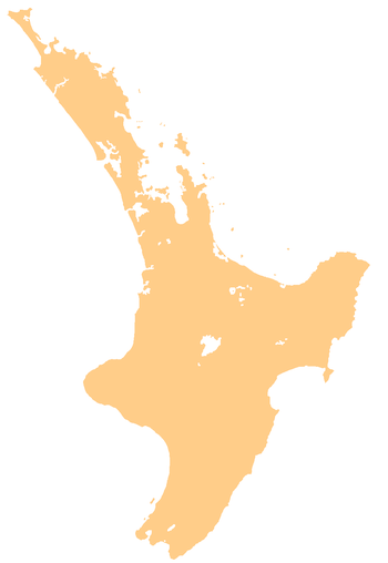
| Country | New Zealand |
| Region | Waikato |
| District | Thames-Coromandel District |
| Population (2006) | |
| • Total | 741 |
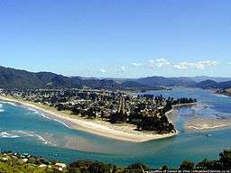
The town of Pauanui meaning Big Paua (abalone) in Maori is on the east coast of the Coromandel Peninsula in the North Island of New Zealand. It lies at the mouth of the Tairua River on its south bank, directly opposite the larger town of Tairua.[1] The population was 750 in 2013[2] and 741 in the 2006 Census, an increase of 42 from 2001.[3]
The two settlements are 30 kilometres east of Thames. Several islands lie off the mouth of the river, notably Slipper Island to the southeast and the Alderman Islands 20 kilometres to the East.
The area is a popular holiday destination, with an estimated summer holiday maker population of over 15,000. Pauanui is known as New Zealand's holiday destination for the elite and wealthy.
The settlement has an airstrip used by recreational light-aircraft pilots and is noted for game fishing, diving, surfing and its excellent beach.
References
- ↑ Peter Dowling (editor) (2004). Reed New Zealand Atlas. Reed Books. pp. map 17. ISBN 0-7900-0952-8.
- ↑ "2013 Census QuickStats about a place". Retrieved 2018-08-25.
- ↑ Quickstats about Pauanui Beach
External links
| Wikivoyage has a travel guide for Pauanui. |
Coordinates: 37°01′S 175°52′E / 37.017°S 175.867°E