Patillas Airport
| Patillas Airport | |||||||||||
|---|---|---|---|---|---|---|---|---|---|---|---|
| Summary | |||||||||||
| Airport type | Closed | ||||||||||
| Owner | Puerto Rico Ports Authority | ||||||||||
| Location | Patillas, Puerto Rico | ||||||||||
| Elevation AMSL | 10 ft / 3 m | ||||||||||
| Coordinates | 17°58′56″N 66°01′10″W / 17.98222°N 66.01944°WCoordinates: 17°58′56″N 66°01′10″W / 17.98222°N 66.01944°W | ||||||||||
| Map | |||||||||||
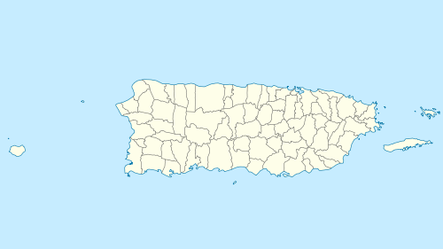 X64 Location in Puerto Rico | |||||||||||
| Runways | |||||||||||
| |||||||||||
|
Source: Google Maps[1] | |||||||||||
Patillas Airport (FAA LID: X64) was a public airport 1.5 miles (2.4 km) south of the small town of Patillas, in Puerto Rico.
Google Earth Historical Imagery (12/12/2014) shows an east-west 2,000 feet (610 m) asphalt runway. The (7/14/2015) image shows the runway marked closed. Current imagery (1/1/2018) shows the runway area now used for industrial storage.
See also

- Transport in Puerto Rico
- List of airports in Puerto Rico
References
- ↑ "Patillas Airport". Google Maps. Google. Retrieved 5 June 2018.
External links
This article is issued from
Wikipedia.
The text is licensed under Creative Commons - Attribution - Sharealike.
Additional terms may apply for the media files.