Humacao Airport
| Humacao Airport Dr Hermenegildo Ortiz Quinones Airport | |||||||||||
|---|---|---|---|---|---|---|---|---|---|---|---|
| Summary | |||||||||||
| Airport type | Public | ||||||||||
| Owner | Puerto Rico Ports Authority | ||||||||||
| Serves | Humacao, Puerto Rico | ||||||||||
| Elevation AMSL | 33 ft / 10 m | ||||||||||
| Coordinates | 18°08′17″N 65°48′03″W / 18.13806°N 65.80083°WCoordinates: 18°08′17″N 65°48′03″W / 18.13806°N 65.80083°W | ||||||||||
| Map | |||||||||||
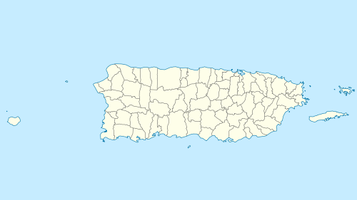 X63 Location in Puerto Rico | |||||||||||
| Runways | |||||||||||
| |||||||||||
Humacao Airport (IATA: HUC, FAA LID: X63) is a public use airport owned by the Puerto Rico Ports Authority and located 1.6 miles (2.6 km) southeast of Humacao, a city in Puerto Rico.[1]
Facilities
Humacao Airport covers an area of 14 acres (5.7 ha) at an elevation of 33 ft (10 m) above mean sea level. It has one asphalt paved runway designated 10/28 which measures 2,450 ft × 60 ft (747 m × 18 m).
The San Juan VORTAC (Ident: SJU) is located 21.4 nautical miles (24.6 mi) north-northwest of the airport. The Patty non-directional beacon (Ident: SJ) is located 23.1 nautical miles (26.6 mi) northwest of the airport.[4][5]
See also

- Transport in Puerto Rico
- List of airports in Puerto Rico
References
- 1 2 FAA Airport Master Record for X63 (Form 5010 PDF), effective 2 July 2009.
- ↑ Airport information for Humacao Airport at Great Circle Mapper.
- ↑ "Humacao Airport". Google Maps. Google. Retrieved 5 June 2018.
- ↑ San Juan VORTAC
- ↑ Patty NDB
External links
- OpenStreetMap - Humacao Airport
- SkyVector - Dr Hermenegildo Ortiz Quinones Airport
- Resources for this airport:
- FAA airport information for X63
- AirNav airport information for X63
- FlightAware airport information and live flight tracker
- SkyVector aeronautical chart for X63
This article is issued from
Wikipedia.
The text is licensed under Creative Commons - Attribution - Sharealike.
Additional terms may apply for the media files.