Paramaribo District
| Paramaribo | |
|---|---|
| District | |
 | |
.svg.png) Map of Suriname showing Paramaribo district | |
| Coordinates: 5°50′0″N 55°10′0″W / 5.83333°N 55.16667°W | |
| Country |
|
| Capital | Paramaribo |
| Area | |
| • Total | 182 km2 (70 sq mi) |
| Population (2012 census) | |
| • Total | 240,924 |
| • Density | 1,300/km2 (3,400/sq mi) |
| Time zone | UTC-3 (ART) |
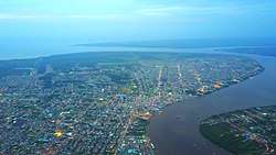
Paramaribo is a district of Suriname, encompassing the city of Paramaribo and the surrounding area.
Paramaribo district has a population of 240,924, almost half the population of the entire country, and an area of 182 km².[1]
The area was first colonised by the British in the 17th century with the construction of Fort Willoughby. This fort was later taken by the Netherlands and renamed Fort Zeelandia. The area, and the city of Paramaribo, switched between Dutch and British control until the Treaty of Breda at the end of the Second Anglo-Dutch War ceded all of Suriname to the Dutch.
Resorts
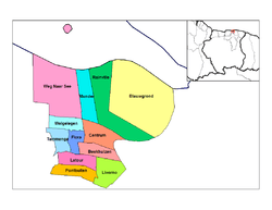
Resorts of Paramaribo
Paramaribo is divided into 14 resorts (ressorten):
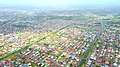
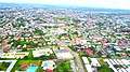
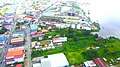
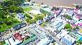
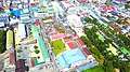
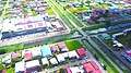
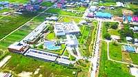
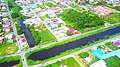
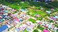
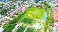
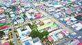
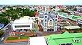
Gallery


References
- ↑ "Census profile at District level 2004 (in Dutch)". Stichting Algemeen Bureau voor de Statistiek in Suriname. Retrieved 2013-04-24.

This article is issued from
Wikipedia.
The text is licensed under Creative Commons - Attribution - Sharealike.
Additional terms may apply for the media files.