Bakkie, Suriname
| Bakkie | |
|---|---|
| Resort | |
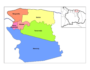 Map showing resorts in Commewijne District | |
 Bakkie Map showing resorts in Commewijne District | |
| Coordinates: 5°54′53.5″N 54°53′45.5″W / 5.914861°N 54.895972°WCoordinates: 5°54′53.5″N 54°53′45.5″W / 5.914861°N 54.895972°W | |
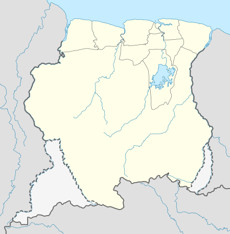
| Country |
|
| District | Commewijne District |
| Area | |
| • Total | 440 km2 (170 sq mi) |
| Population (2012) | |
| • Total | 447 |
| • Density | 1.0/km2 (2.6/sq mi) |
| Time zone | UTC-3 (AST) |
Bakkie is a resort in Suriname, located in the Commewijne District. Its population was 447 at the 2012 census (541 at the 2004 census).[1][2] Around 1902, the plantation Reynsdorp was bought by the government and parceled out in small allotments for immigrants who had served out their contracts.[3] The resort lies along the Atlantic Ocean coastline.
The Museum of Bakkie, located in the village Reynsdorp (now better known as Bakkie) has an impressive collection of old bottles, prints, maps, paintings and many utensils.[4]
References
- ↑ Census 2012 ABS Suriname
- ↑ Census 2004 Statoids.com
- ↑ National Archives of Suriname
- ↑ Warappa Creek

This article is issued from
Wikipedia.
The text is licensed under Creative Commons - Attribution - Sharealike.
Additional terms may apply for the media files.