Pamankada
| Pamankada පාමංකඩ பாமன்கடை | |
|---|---|
| Suburb | |
 Pamankada | |
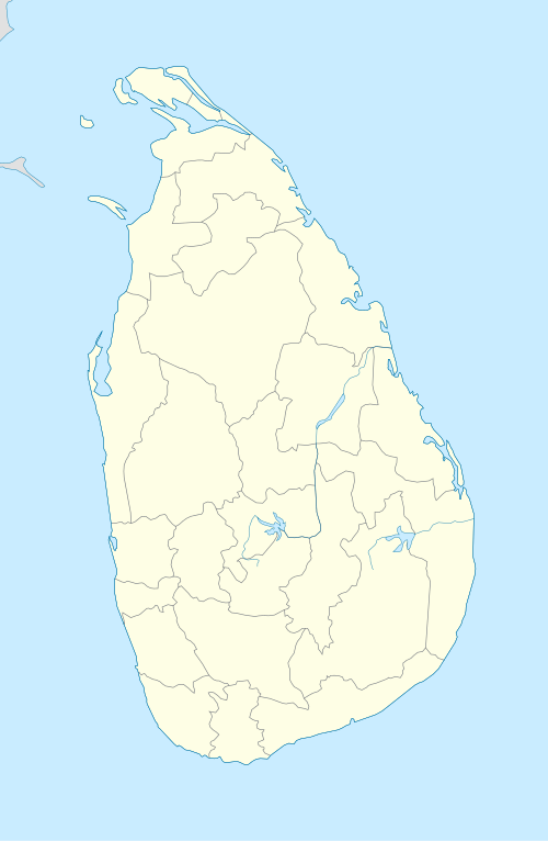
| Coordinates: 6°52′31″N 79°52′31″E / 6.87528°N 79.87528°ECoordinates: 6°52′31″N 79°52′31″E / 6.87528°N 79.87528°E | |
| Country | Sri Lanka |
| Province | Western Province |
| District | Colombo District |
| Time zone | UTC+5:30 (Sri Lanka Standard Time Zone) |
| Postal Code | 00600 [1] |
Pamankada is a suburb in Colombo, Sri Lanka. It is also part of the area numbered Colombo 6 and its postcode is 00600. The Colombo - Horana Road runs through the center of the town and connects to High level road and Havelock road. Neighboring suburbs are Kirulapana, Kohuwela, Dehiwela, Wellawatte and Bambalapitiya.
Tourist attractions
- Pamankada Balapokuna is an ancient pond, located in the Balapokuna Raja Maha Vihara premises.
Places adjacent to Pamankada | |
|---|---|
References
This article is issued from
Wikipedia.
The text is licensed under Creative Commons - Attribution - Sharealike.
Additional terms may apply for the media files.