Ja-Ela
| Ja-Ela ජා-ඇල ஜா-எல | |
|---|---|
| Suburb | |
 A Stretch of the Ja-Ela town through the culverts of Negombo-Colombo Road | |
 Ja-Ela | |
| Coordinates: 7°4′0″N 79°53′36″E / 7.06667°N 79.89333°E | |
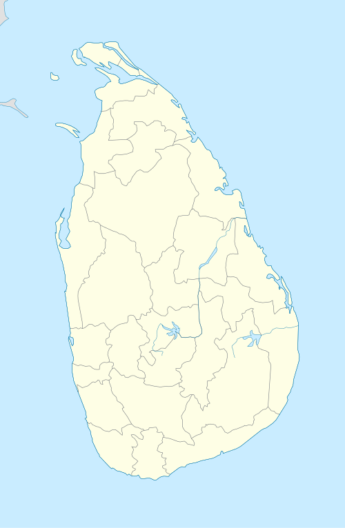
| Country | Sri Lanka |
| Province | Western Province |
| District | Gampaha District |
| Government | |
| • Urban Council | Ja-Ela Urban Council |
| • Mayor | Shammika Dias (UPFA) |
| Time zone | UTC+5:30 (SLST) |
| Postal code | 11350 |
| Area code(s) | 011 |
| Website |
www |
Ja-Ela is a suburb of Colombo, located approximately 20 km (12 mi) north of the Colombo city centre. Ja-Ela lies on the A3 road which overlaps with the Colombo – Katunayake Expressway at the Ja-Ela Junction.
Etymology
The etymology of the name is uncertain, and there are several yet arguable interpretations of the name. Howbeit, based on verified historical shreds of evidence, the etymology of the place, Ja Ela is based on both Malay & Sinhala languages. "Ja" and "Javan" are referential terms used by the Sinhalese, Moors & Tamils to address the Malays/ Javanese or those of Indonesian descent and the term "Ela" is derived from Sinhala language meaning stream/ lake/ canal.[1]
Local Government Council
Ja-Ela is admistered by the Ja-Ela Urban Council.
Economy
The economy in Ja-Ela consists of commercial enterprises, office and industrial employment.
Shopping malls
- K-Zone Ja-Ela
- Realty Plaza Ja-Ela
Movie theatres
- Cinemax 3D
- Vista Lite 3D
Demographics
Majority of the people from Ja-Ela are generally Sinhalese, along with other minority communities such as Tamils, Muslims and Burghers.
The following table summarises the population of Ja-Ela -Kandana- Ragama pradeshiya sabha area according to ethnicity (2011 Census)
| Ethnicity | Population | % of Total |
|---|---|---|
| Sinhalese | 186,086 | 92.3% |
| Sri Lankan Moors | 853 | 0.423% |
| Sri Lankan Tamils | 8,042 | 4% |
| Indian Tamils | 1,236 | 0.613% |
| Burghers | 3,453 | 1.71% |
| Bharatha | 45 | 0.02% |
| Sri Lankan Malays | 1,239 | 0.614% |
| Sri Lankan Chetty | 120 | 0.06% |
| Others | 447 | 0.22% |
| Total | 201,521 | 100% |
Transport
This suburb is situated on the main road A3, between Colombo municipality and Negombo municipality. Ja-Ela is situated very close to the Bandaranaike International Airport. There is also a bus stand in Ja-Ela which provides access to Colombo, Negombo, Gampaha. The traffic issues at Ja-Ela have been reduced after the introduction of the Colombo – Katunayake Expressway, which serves an interchange at Ja-Ela.
Rail
The Ja-Ela railway station is located on the Puttalam line and was opened in 1908. It is the fourth station on the line and is 22.15 km (13.76 mi) from Colombo Fort railway station. The station provides commuter access to the Colombo and Chilaw areas.
Buses
- Negombo - Ja-Ela
- Gampaha - Ja-Ela
- Fort - Ja-Ela
- Ragama - Ja-Ela
- Nittambuwa - Ja-Ela
- Ganemulla - Ja-Ela
- Raddolugama - Ja-Ela
Schools
- Mary Immaculate Convent -Thudalla
- Christ King College - Thudalla
- Jayanthi Vidyalaya - Ja-ela (Town)
- St. Mary's College Ja-ela (Town)
Geography
Climate
| Climate data for Ja-Ela, Sri Lanka | |||||||||||||
|---|---|---|---|---|---|---|---|---|---|---|---|---|---|
| Month | Jan | Feb | Mar | Apr | May | Jun | Jul | Aug | Sep | Oct | Nov | Dec | Year |
| Average high °C (°F) | 30 (86) |
31 (88) |
33 (91) |
34 (93) |
34 (93) |
32 (90) |
32 (90) |
32 (90) |
32 (90) |
31 (88) |
30 (86) |
29 (84) |
32 (90) |
| Average low °C (°F) | 22 (72) |
22 (72) |
24 (75) |
26 (79) |
26 (79) |
25 (77) |
24 (75) |
24 (75) |
24 (75) |
24 (75) |
23 (73) |
22 (72) |
24 (75) |
| Average precipitation mm (inches) | 16 (0.63) |
19 (0.75) |
22 (0.87) |
63 (2.48) |
54 (2.13) |
87 (3.43) |
130 (5.12) |
140 (5.51) |
111 (4.37) |
192 (7.56) |
141 (5.55) |
71 (2.8) |
1,046 (41.18) |
| Average precipitation days | 1 | 1 | 2 | 3 | 3 | 2 | 3 | 4 | 5 | 8 | 7 | 4 | 43 |
| Source: World Climate Guide. To check the current Weather - Visit: https://www.worldweatheronline.com/ja-ela-weather/western/lk.aspx | |||||||||||||
References
- ↑ Careem, Tuan M. Zameer.(2017). Persaudaraan (Brotherhood). Malay Life in Sri Lanka (2nd ed). Colombo: S Godage & Brothers. Print
- ↑ http://www.statistics.gov.lk/pophousat/cph2011/Pages/Activities/Reports/District/Gampaha.pdf