Pánuco Municipality, Veracruz
| Pánuco | |
|---|---|
| Municipality | |
 Municipality of Pánuco in the Huasteca Alta region of Veracruz | |
|
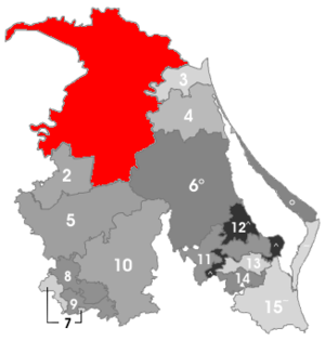
Pánuco Location in Mexico | |
| Coordinates: 22°03′0″N 98°11′0″W / 22.05000°N 98.18333°WCoordinates: 22°03′0″N 98°11′0″W / 22.05000°N 98.18333°W | |
| Country |
|
| State | Veracruz |
| Municipal seat | Pánuco |
| Government | |
| • Municipal President | Ricardo García Guzmán (AFV), 2008-10 |
| Area | |
| • Total | 3,277.81 km2 (1,265.57 sq mi) |
| Elevation | 10 m (30 ft) |
| Population (2010) | |
| • Total | 97,920 |
| • Density | 30/km2 (77/sq mi) |
| Website | www.panuco.gob.mx |
Pánuco is one of the 212 municipalities of the Mexican state of Veracruz. It is located in the Huasteca Alta region of Veracruz and shares borders with the states of San Luis Potosí and Tamaulipas. The municipal seat is the city of Pánuco, Veracruz.
In the 2005 INEGI Census, the municipality of Pánuco reported a total population of 91,006, of whom 33,122 lived in the municipal seat.[1] Of the municipality's inhabitants, 1,421 (1.5%) spoke an indigenous language, primarily Nahuatl.
The municipality of Pánuco covers a total surface area of 3277.81 km².
The name "Pánuco" comes from the Río Pánuco, which crosses the municipality.
Settlements in the municipality
- Pánuco (municipal seat; 2005 population 33,122)
- El Moralillo (population 8,124)
- Tamos (3,362)
- Guayalejo (2,757)
- Villa Calilao (2,060)
References
- ↑ "Pánuco". Enciclopedia de los Municipios de México. Instituto Nacional para el Federalismo y el Desarrollo Municipal. Archived from the original on 17 June 2011. Retrieved 2 November 2008.
External links
- (in Spanish) Municipal Official Site
This article is issued from
Wikipedia.
The text is licensed under Creative Commons - Attribution - Sharealike.
Additional terms may apply for the media files.