Overthorpe, Northamptonshire
| Overthorpe | |
|---|---|
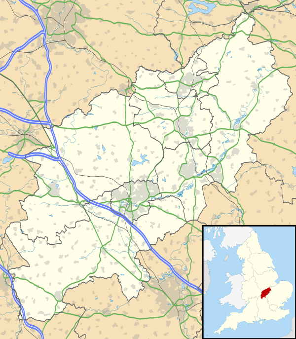 Overthorpe Overthorpe shown within Northamptonshire | |
| Population | 235 (2011 Census) |
| OS grid reference | SP4840 |
| District | |
| Shire county | |
| Region | |
| Country | England |
| Sovereign state | United Kingdom |
| Post town | Banbury |
| Postcode district | OX17 |
| Dialling code | 01295 |
| Police | Northamptonshire |
| Fire | Northamptonshire |
| Ambulance | East Midlands |
| EU Parliament | East Midlands |
| UK Parliament | |
| Website | Overthorpe Village Website |
Overthorpe is a village and civil parish in South Northamptonshire, about 2 miles (3 km) east of Banbury in Oxfordshire and 1 mile (1.6 km) southeast of junction 11 of the M40 motorway. Overthorpe is in the west of Northamptonshire, and its western boundary forms part of the county boundary with Oxfordshire. It is part of the informal district of Banburyshire.
The 2001 Census recorded the parish's population as 242,[1] reducing slightly to 235 at the 2011 Census.[2]
History
The Manor House is 17th-century, with a Tudor Revival rear extension that was added about 1930.[3] The village has at least three other 17th-century houses[4][5][6] and a 17th- or 18th-century barn.[7]
An open field system of farming prevailed in Overthorpe until the 18th century. Traces of ridge and furrow survive north of the village. Overthorpe used to be part of the parish of Middleton Cheney, but its land tenure was linked with that of Warkworth. Parliament passed a single Inclosure Act for both Overthorpe and Warkworth in 1764.[8]
Church and chapel
There is no church in Overthorpe. It is in the Church of England parish of St Mary, Warkworth, whose 14th-century church is midway between the two villages.
Overthorpe had a nonconformist chapel, but it is now a private house.[9]
Amenities
Carrdus School, at Overthorpe Hall 1⁄2 mile (800 m) north of the village, is an independent preparatory school.[10]
The Jurassic Way long distance footpath passes through the village.
References
- ↑ "Area: Overthorpe CP: Parish Headcounts, 2001". Neighbourhood Statistics. Office for National Statistics. Retrieved 10 February 2015.
- ↑ "Civil Parish population 2011". Neighbourhood Statistics. Office for National Statistics. Retrieved 7 July 2016.
- ↑ Historic England. "Manor House (Grade II) (1371479)". National Heritage List for England. Retrieved 10 February 2015.
- ↑ Historic England. "Dumbletons (Grade II) (1041162)". National Heritage List for England. Retrieved 10 February 2015.
- ↑ Historic England. "Hill Farmhouse (Grade II) (1293624)". National Heritage List for England. Retrieved 10 February 2015.
- ↑ Historic England. "Old Well House (Grade II) (1041161)". National Heritage List for England. Retrieved 10 February 2015.
- ↑ Historic England. "Barn approximately 20 metres west of the Old Well House (Grade II) (1293609)". National Heritage List for England. Retrieved 10 February 2015.
- ↑ RCHME 1982, pp. 101–102.
- ↑ Historic England. "Chapel House (Grade II) (1293640)". National Heritage List for England. Retrieved 10 February 2015.
- ↑ Carrdus School
Sources
- RCHME, ed. (1982). An Inventory of the Historical Monuments in the County of Northamptonshire. 4, Archaeological Sites in South-West Northamptonshire. London: Her Majesty's Stationery Office. pp. 101–102.
External links
- Map sources for Overthorpe, Northamptonshire