Otane
| Otane Ōtāne | |
|---|---|
 Otane | |
| Coordinates: 39°53′S 176°38′E / 39.883°S 176.633°E | |
| Country | New Zealand |
| Region | Hawke's Bay |
| Territorial authority | Central Hawke's Bay District |
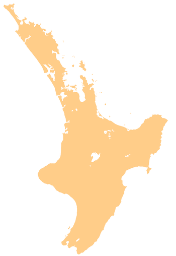
Otane (Māori: Ōtāne) is a township in the Central Hawke's Bay District and the Hawke's Bay region, on the east coast of New Zealand's North Island. The small village, has a school, general store, cafe and pub, and is located just off State Highway 2.[1] The community had a population of 537 as of 2013.[2]
The town was found in 1874, during a subdivision of Henry Tiffen’s 5140-hectare Homewood farming estate. It overtook and replaced a neighbouring township, Kaikora, formed over the 1850s and 1860s, and became the centre of the Pātangata County from 1885 to 1977. The county took its name from a nearby Māori pā.[2]
References
- ↑ "Otane official website". centralhawkesbay.co.nz. Central Hawke's Bay District Council.
- 1 2 Pollock, Kerryn. "Otane". Te Ara - the Encyclopedia of New Zealand. Ministry for Culture and Heritage.
This article is issued from
Wikipedia.
The text is licensed under Creative Commons - Attribution - Sharealike.
Additional terms may apply for the media files.