Okba Ibn Nafa Air Base
| Okba Ibn Nafa Air Base | |||||||||||||||
|---|---|---|---|---|---|---|---|---|---|---|---|---|---|---|---|
| Summary | |||||||||||||||
| Airport type | Military | ||||||||||||||
| Elevation AMSL | 253 ft / 77 m | ||||||||||||||
| Coordinates | 32°28′20″N 11°54′00″E / 32.47222°N 11.90000°ECoordinates: 32°28′20″N 11°54′00″E / 32.47222°N 11.90000°E | ||||||||||||||
| Map | |||||||||||||||
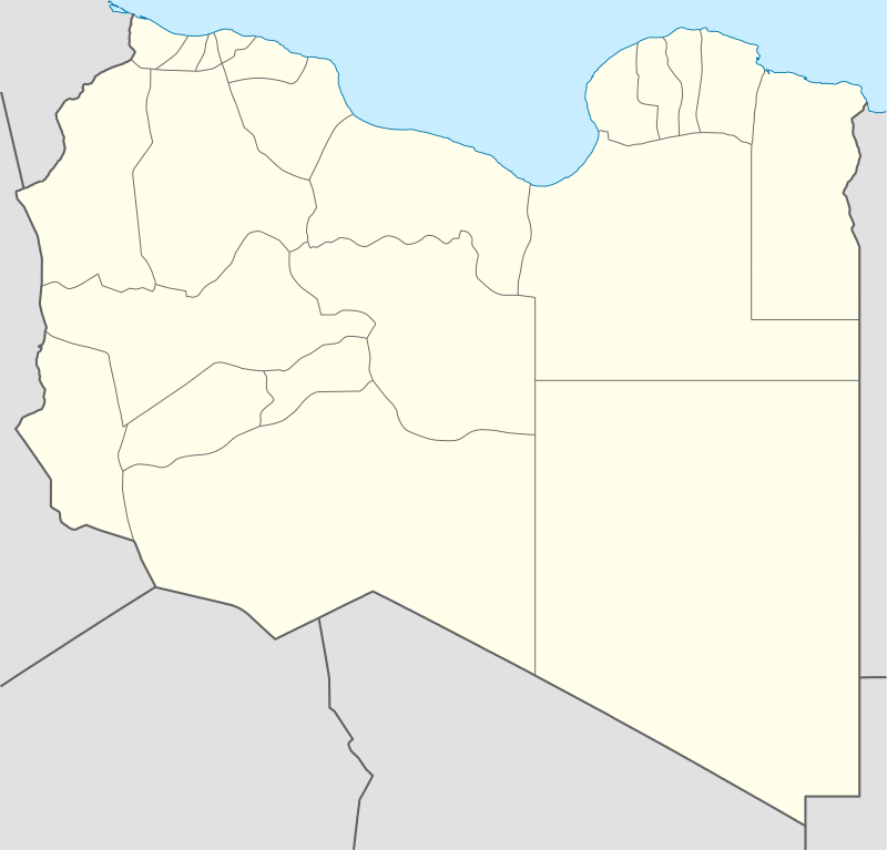 Okba Ibn Nafa A.B. Location of the airport in Libya | |||||||||||||||
| Runways | |||||||||||||||
| |||||||||||||||
Okba Ibn Nafa Air Base (ICAO: HL77) is a military airport in the Nuqat al Khams district of western Libya. It is 27 kilometres (17 mi) east of the Tunisian border.
See also


- Transport in Libya
- List of airports in Libya
References
- ↑ Airport information for HL77 at Great Circle Mapper.
- ↑ Google Map - Okba Ibn Nafa
External links
- OurAirports - Okba ibn Nafa
- Okba Ibn Nafa
- AeroInside - Okba Ibn Nafa
- openAIPopenAIP - Okba Ibn Nafa
- OpenStreetMap - Okba ibn Nafa
- Flyaway Simulation
This article is issued from
Wikipedia.
The text is licensed under Creative Commons - Attribution - Sharealike.
Additional terms may apply for the media files.